Daru Island
Daru Island is an island in the Western Province of Papua New Guinea. The eponymous town on the island is the capital of the province, and houses the vast majority of the island's population of 20,524 (2009). Daru Island is elliptical in shape, with dimensions of 5.0 by 3.7 kilometers, an area of 14.7 km², and an elevation of up to 27 m. The island is separated from the mainland in the north, specifically the mouth of Oriomo River, by the 3.5 km wide Daru Roads. The shortest distance to the larger Bristow Island (also called Bobo Island) in the south is 1.3 km.
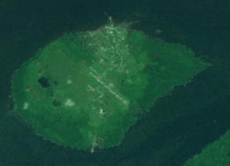 Daru Island from space | |
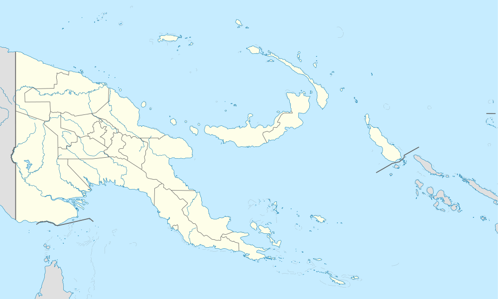 Daru Island Daru Island (Papua New Guinea) | |
| Geography | |
|---|---|
| Location | Torres Strait |
| Coordinates | 09°05′10″S 143°12′27″E |
| Area | 14.7 km2 (5.7 sq mi) |
| Length | 5.0 km (3.11 mi) |
| Width | 3.7 km (2.3 mi) |
| Highest elevation | 27 m (89 ft) |
| Highest point | unnamed |
| Administration | |
Papua New Guinea | |
| Province | Western Province |
| District | South Fly District |
| LLG | Daru Urban |
| Largest settlement | Daru (pop. 12879) |
| Demographics | |
| Population | 12,879 (2000) |
| Pop. density | 876/km2 (2,269/sq mi) |
| Ethnic groups | Kiwai |
Daru Island is one of the few Torres Strait Islands that do not belong to Australia, but to Papua New Guinea. It is also the most highly populated of the Torres Strait Islands, although scarcely any original Torres Strait Islanders live on the island. The main industry on the island is fishing although few fisheries are locally owned. The island has an international airport which is mainly used by Australian aircraft chartered by mining companies for customs clearance or to pick up jet fuel. Commercial flights service Daru Airport four days per week.
History
First recorded sighting by Europeans was by the Spanish expedition of Luís Vaez de Torres on 5 September 1606.[1]
References
- Hilder, Brett The voyage of Torres, Brisbane, 1980, pp.67,73