Daroor (woreda)
Daroor woreda (Somali: Daroor, also spelled Darror, daror , Darar,[1] Ge'ez ዳሮር) is one of the woredas (Districts) of the Somali Region of Ethiopia. It was announced in 2010 by the President of the Somali Region.[2] Part of the Jarar zone, Daroor is bordered on the south by Gunagadow, on the west by Aware, on the north by the Harshin woreda, on the northeast by Somalia, and on the east by Misraq Gashamo.
Daroor Degmada Daroor | |
|---|---|
 Map of Jarar Zone | |
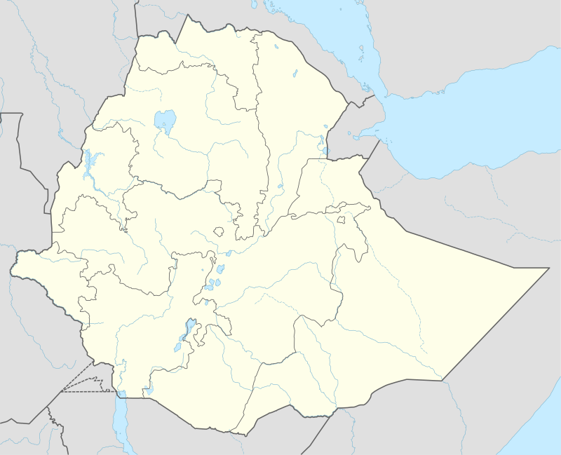 Daroor Location within Ethiopia | |
| Coordinates: 8°13′24″N 44°41′41″E | |
| Country | |
| Region | Somali |
| Zone | Jarar zone |
| Districts | Daroor |
| Elevation | 943 m (3,094 ft) |
| Time zone | UTC+3 (EAT) |
History
In 2005 Daroor had 14,016 inhabitants, according to the Ethiopian Central Statistical Agency.[3] In 1997 of 9,397 inhabitants 99,47% of these were Somali, and 50 residents were from other ethnic groups.[4] In 1988 a refugee camp was set up for Somalis. The refugee camp housed predominantly members of the Habar-Yunis-Garhajis and Habar-Ia'lo-Iisaaq clans from nearby northern Somalia. The camp was poorly equipped. The camp's population fell from around 32.000 on 12.000 in September 1994. After renewed fighting in November, the population rose to 49.000.[5] At the end of 2001 / the beginning of 2002 the camp was closed after most refugees voluntarily went home.[6]
The economy of the place was strongly affected when the Saudi Arabian 1998 import of cattle from northeast Africa stopped.[7]
References
- http://nai.uu.se/library/resources/thematicresources/local_history_of_ethiopia/d/ORTDA.pdf
- "Ethiopia: Daroor district the newest district of Dhagaxbuur province Somali region of Ethiopia – Somalia Online". www.somaliaonline.com. Retrieved 30 May 2017.
- "2005 National statistics, section-B population, table b.4 (PDF)" (PDF). csa.gov.et. Archived from the original (PDF) on 4 February 2016. Retrieved 30 May 2017.
- "the 1994 population and housing census of Ethiopia: results for Somali region, volume I: part I. statistical report on population size characteristics, 1998 (PDF), S. 73" (PDF). csa.gov.et. Archived from the original (PDF) on 23 September 2015. Retrieved 30 May 2017.
- Guido ambroso: pastoral society and transnational refugees: population movements in Somaliland and Eastern Ethiopia 1988-2000. new issues in refugee research, working paper No. 65, UNHCR - evaluation and policy analysis unit, 2002 (PDF; 492 survey)
- return of 2,400 Somali refugees leads to closing of third camp in Ethiopia, February 2, 2002.
- Joachim D. Ahrens, field officer, UNDP emergencies unit for Ethiopia: cessation of livestock export severely affects the pastoralist economy of Somali region (mission: 31 March to April 7, 1998