Dangihat
Dangihat was a village development committee in Morang District in the Koshi Zone of south-eastern Nepal. It lies west of Bahuni. It consisted of 9 wards. People of different castes lived here, mainly Brahmin, Chhetri, Khawas, Rai, Limbu, and Rajbanshi. At the time of the 1991 Nepal census it had a population of 15,639 people living in 2992 individual households.[1]
Dangihat डाँगीहाट | |
|---|---|
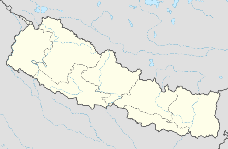 Dangihat Location in Nepal | |
| Coordinates: 26.63°N 87.45°E | |
| Country | |
| Zone | Koshi Zone |
| District | Morang District |
| Population (1991) | |
| • Total | 15,639 |
| Time zone | UTC+5:45 (Nepal Time) |
References
- "Nepal Census 2001". Nepal's Village Development Committees. Digital Himalaya. Archived from the original on 12 October 2008. Retrieved 15 December 2008.
Headquarter: Biratnagar | ||
| Metropolitan City |  | |
| Municipalities | ||
| Rural Municipalities | ||
This article is issued from Wikipedia. The text is licensed under Creative Commons - Attribution - Sharealike. Additional terms may apply for the media files.