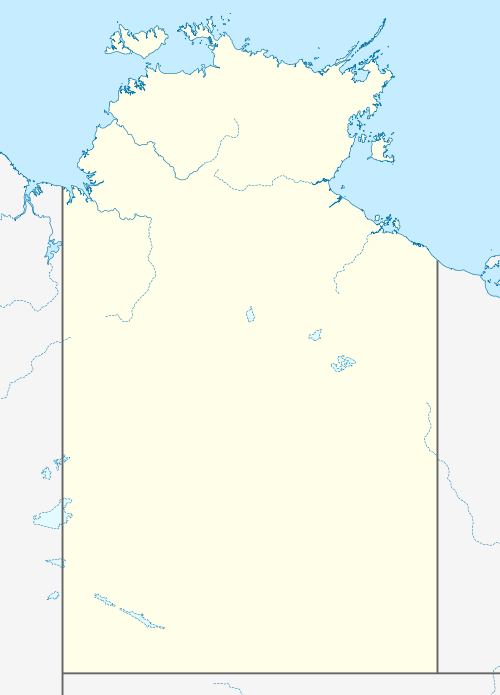
Daguragu, Northern Territory
Daguragu, previously also known as Wattie Creek by the Gurindji people,[10] is a locality in the Northern Territory of Australia located about 551 kilometres (342 mi) south of the territory capital of Darwin and located about 460 kilometres (290 mi) south-west of the municipal seat in Katherine.[1][3][5] Daguragu community is situated on Aboriginal land held under perpetual title.[11]
| Daguragu Northern Territory | |||||||||||||||
|---|---|---|---|---|---|---|---|---|---|---|---|---|---|---|---|
 Daguragu | |||||||||||||||
| Coordinates | 17°25′12″S 130°48′18″E[1] | ||||||||||||||
| Population | 242 (2016 census)[2] | ||||||||||||||
| • Density | 5.488/km2 (14.21/sq mi) | ||||||||||||||
| Established | prior to 1974 (community) 4 April 2007 (locality)[1] | ||||||||||||||
| Postcode(s) | 0852[3] | ||||||||||||||
| Area | 44.1 km2 (17.0 sq mi)[4] | ||||||||||||||
| Time zone | ACST (UTC+9:30) | ||||||||||||||
| Location | |||||||||||||||
| LGA(s) | Victoria Daly Region[1] | ||||||||||||||
| Territory electorate(s) | Stuart[6] | ||||||||||||||
| Federal Division(s) | Lingiari[7] | ||||||||||||||
| |||||||||||||||
| |||||||||||||||
| Footnotes | Adjoining localities[9] | ||||||||||||||
As of 2006, Daguragu Community Government Council provided "municipal and other services to the township and surrounds of Kalkarindji (formerly known as Wave Hill Welfare Settlement) and to Daguragu [Community], a community settled on land under the Aboriginal Land Rights Act 1976". The total council area was about 3,237 square kilometres (1,250 sq mi).[12] Kalkaringi was within a gazetted township area, with the land being leasehold under the auspices of the Northern Territory Government.[11]
Daguragu's boundaries and name were gazetted on 4 April 2007. It is named after the Aboriginal community located within its boundaries where in 1975, then Prime Minister Gough Whitlam presented the title to the land granted to the Gurindji people following the events of the Wave Hill walk-off in 1966. As of 2020, it has an area of 44.1 square kilometres (17.0 sq mi).[4][1][13]
Daguragu Community was amalgamated into the Victoria Daly Shire on 1 July 2008. As of 2020 Daguragu is located within the federal division of Lingiari, the territory electoral division of Stuart and the local government area of the Victoria Daly Region.[7][6][1]
The 2016 Australian census reported that Daguragu had a population of 242 people of whom 233 (96%) identified as Aboriginal and/or Torres Strait Islander.[2][14]
References
- "Place Names Register Extract for Daguragu (Administrative Area)". NT Place Names Register. Northern Territory Government. Retrieved 20 March 2020.
- Australian Bureau of Statistics (27 June 2017). "Daguragu (State Suburb)". 2016 Census QuickStats.

- "Daguragu postcode". Postcode Finders. Retrieved 20 March 2020.
- "Daguragu". Australia’s Guide Pty Ltd. Retrieved 20 March 2020.
- "OUR COMMUNITIES: Kalkarindji / Daguragu". Victoria Daly Region. Retrieved 23 March 2020.
- "Division of Stuart". Northern Territory Electoral Commission. Retrieved 6 March 2020.
- "Federal electoral division of Lingiari". Australian Electoral Commission. Retrieved 25 January 2020.
- "Monthly climate statistics: Summary Wave Hill (nearest weather station)". Commonwealth of Australia, Bureau of Meteorology. Retrieved 21 March 2020.
- "Localities within Victoria River sub-region (CP-5459)" (PDF). NT Place Names Register. Northern Territory Government. 28 May 2014. Retrieved 21 March 2020.
- Petersen, Paul (2016). "Wave Hill Walk Off: 50 Year Anniversary" (PDF). Maritime Union of Australia. Queensland Branch. Retrieved 7 August 2020. Cite journal requires
|journal=(help) - "About us". Daguragu Community Government Council. Archived from the original on 31 August 2006.
- "Home". Daguragu Community Government Council. Archived from the original on 31 August 2006.
- "Place Names Register Extract for Daguragu (Community)". NT Place Names Register. Northern Territory Government. Retrieved 20 March 2020.
- "Daguragu Indigenous Location (ILOC)". 2016 Census QuickStats. Australian Bureau of Statistics. Retrieved 21 March 2020.
Further reading
- Ward, Charlie (20 August 2016). "An historic handful of dirt: Whitlam and the legacy of the Wave Hill Walk-Off". The Conversation. Article by the author of the 2017 book A Handful of Sand: The Gurindji Struggle, After the Walk-off.
- Gerritsen, Rolf (2017). "A Handful of Sand: The Gurindji Struggle, After the Walk-offby Charlie Ward... Book Review" (PDF). Aboriginal History. ANU Press. 41: 233–234.