Colindres
Colindres is a town in the northern Spanish province and autonomous community of Cantabria. Located between the cities of Santander and Bilbao, Colindres has a population of 8,453 (INE 2018).
Colindres | |
|---|---|
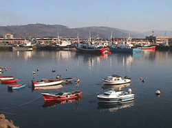 Ships in Colindres. | |
 Coat of arms | |
_Mapa.svg.png) Location of Colindres | |
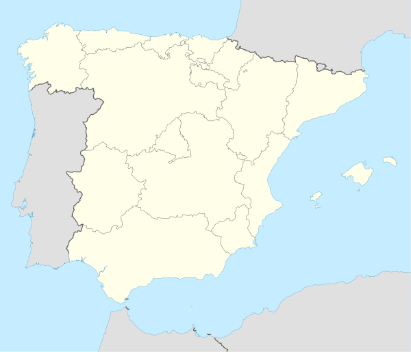 Colindres Location in Spain | |
| Coordinates: 43°23′48″N 3°26′54″W | |
| Country | |
| Autonomous community | |
| Province | Cantabria |
| Comarca | Eastern coast of Cantabria |
| Judicial district | Laredo |
| Capital | Colindres |
| Government | |
| • Alcalde | José Ángel Hierro (2007) (PSC-PSOE) |
| Area | |
| • Total | 5.94 km2 (2.29 sq mi) |
| Elevation | 10 m (30 ft) |
| Highest elevation | 281 m (922 ft) |
| Lowest elevation | 0 m (0 ft) |
| Population (2018)[1] | |
| • Total | 8,453 |
| • Density | 1,400/km2 (3,700/sq mi) |
| Demonym(s) | colindrés/esa, pejino/a |
| Time zone | UTC+1 (CET) |
| • Summer (DST) | UTC+2 (CEST) |
| Postal code | 39750 |
| Website | Official website |
Overview
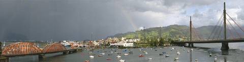
In Colindres, the Asón River flows into the Cantabrian Sea, forming the Santoña estuary, which is the most important SPA in northern Spain, which is also known as the Santoña, Victoria and Joyel Marshes Natural Park, which Colindres is a part of. The town has the second fishing port in the region.
Its festivities during the summer are very popular in the region, and perhaps the most popular and the one which attracts the most people is the folk music festival SAUGA. Colindres' neighboring city, Laredo, has a long beach, La Salvé, with more than 5 km. this is the best place of cantabria .
Sister cities
References
- Municipal Register of Spain 2018. National Statistics Institute.
External links

- Ayuntamiento de Colindres
- SAUGA Folk
- Bienvenidos a Colindres – Pictures of Colindres (Spanish)
- Colindres - Cantabria 102 Municipios
- Paseando por Colindres
| Authority control |
|
|---|