Colatina
Colatina is the second largest city in the north of Espírito Santo, Brazil, 127 km north of the capital Vitória and on the trainline from Vitória to Minas Gerais. It lies on the banks of the Doce river, through which as much as 700 cubic meters of water per second may flow. Its population was 121,580 (2018 est.) and its area is 1,398 km².[2]
Colatina - Espírito Santo | |
|---|---|
Municipality | |
| The Municipality of Colatina-Espírito Santo | |
 | |
 Flag  Seal | |
| Nicknames: Capital do Noroeste Capital of the Northeast Vix | |
| Motto(s): Labor Omnia Vincit (work conquers all) | |
 Location in the Espírito Santo | |
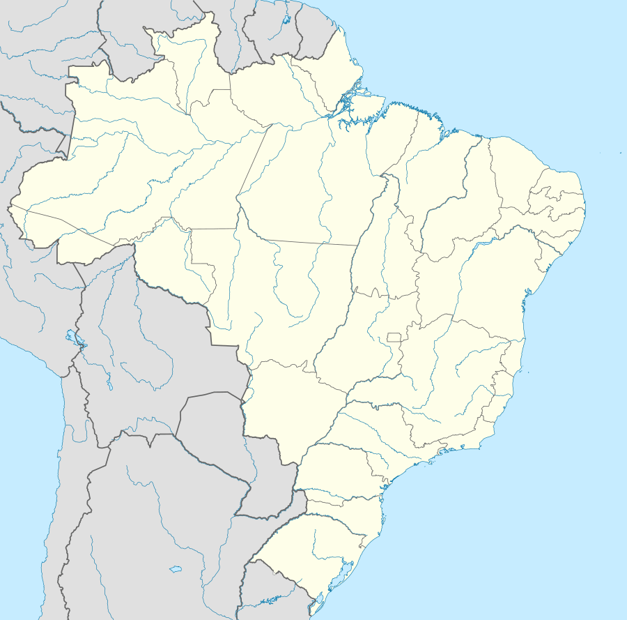 Colatina - Espírito Santo Location in Brazil | |
| Coordinates: 19°32′20″S 40°37′51″W | |
| Country | |
| Region | Southeast |
| State | |
| Founded | December 30, 1921 |
| Government | |
| • Mayor | Sérgio Meneguelli(Workers' Party) |
| Area | |
| • Total | 1,398.219 km2 (539.855 sq mi) |
| Elevation | 71 m (233 ft) |
| Population (2018 est.[2]) | |
| • Total | 121,580 |
| • Density | 87/km2 (230/sq mi) |
| Time zone | UTC-3 (UTC-3) |
| Demonym | "colatinense" |
History
The first attempts to colonize the area where Colatina now lies were in 1857. 46 people established themselves in the area, which was easy at first, as land had already been assigned to each family. This proved unsustainable, though, when the Indians attacked the colony and massacred quite a number of people. In 3 years, all of the colonists had left the area, and it would be another 30 years before major influx would start up again. Until then, small advances were made along small river tributaries, which went on until 1925. Only after 1928, after the completion of the bridge over the Doce river, did more stable and sustained growth come to the region.
References
- "Brazilian Institute of Geography and Statistics". 2017. Retrieved 27 March 2019.
2018 Area Total
- "Brazilian Institute of Geography and Statistics" (PDF). 2018. Retrieved 6 March 2019.
2018 Estimates of Population
External links
Capital: Vitória | ||||||||||
| Mesoregion Central |
|  | ||||||||
| Mesoregion Litoral Norte |
| |||||||||
| Mesoregion Noroeste |
| |||||||||
| Mesoregion Sul |
| |||||||||