Cobdogla
Cobdogla is a town in the Riverland region of South Australia,[4] The town is on the Murray River, 232 kilometres (144 mi) north-east of the state capital, Adelaide. At the 2006 census, Cobdogla had a population of 232.[5]
| Cobdogla South Australia | |||||||||||||||
|---|---|---|---|---|---|---|---|---|---|---|---|---|---|---|---|
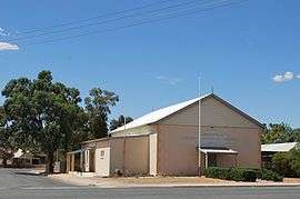 Soldiers Memorial Institute | |||||||||||||||
 Cobdogla | |||||||||||||||
| Coordinates | 34°14′31″S 140°24′22″E | ||||||||||||||
| Population | 625 (2016 census)[1] | ||||||||||||||
| Established | 1 May 1919 (town) 3 December 1998 (locality)[2][3] | ||||||||||||||
| Postcode(s) | 5346 | ||||||||||||||
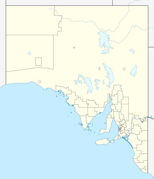
| Location | |||||||||||||||
| LGA(s) | Berri Barmera Council | ||||||||||||||
| State electorate(s) | Chaffey | ||||||||||||||
| Federal Division(s) | Barker | ||||||||||||||
| |||||||||||||||
Cobdogla is the home of the Irrigation and Steam Museum, centred on a pair of Humphrey pumps, one of which is operable,[6] and boasts a working 3 km railway with both a diesel and a steam locomotive (originally used by Humes Ltd. to transport pipes for the Loveday pipeline), a traction engine and numerous stationary engines, all in working order, maintained and operated by enthusiasts, as well as static displays on various river topics - Village Settlements, Loveday Internment Camp and Irrigation maintained by the National Trust of South Australia.[7] Open days are infrequent as a great deal of (voluntary) labour is involved.
The historic Cobdogla Homestead Ruins and the Humphrey Pumps at the former Cobdogla Pumping Station are listed on the South Australian Heritage Register.[8][9]
References and notes
| Wikimedia Commons has media related to Cobdogla, South Australia. |
- Australian Bureau of Statistics (27 June 2017). "Loveday". 2016 Census QuickStats. Retrieved 28 April 2020.

- Peake, A.H. (1 May 1919). "TOWNS OF COBDOGLA, COPEVILLE, AND PERPONDA" (PDF). The South Australian Government Gazette. South Australian Government. p. 797. Retrieved 6 May 2018.
- "GEOGRAPHICAL NAMES ACT 1991 Notice to Assign Boundaries and Names to Places (in the District Council of Berri Barmera )" (PDF). The South Australian Government Gazette: 1711. 3 December 1998. Retrieved 4 December 2018.
- "2905.0 - Statistical Geography: Volume 2 -- Census Geographic Areas, Australia, 2006". Australian Bureau of Statistics. 17 July 2007. Retrieved 8 December 2009.
- Australian Bureau of Statistics (25 October 2007). "Cobdogla (L) (Urban Centre/Locality)". 2006 Census QuickStats. Retrieved 22 January 2010.
- The remarkable Humphrey pump, the only functioning example in the world, may resume (occasional) operation in 2015 depending on OH&S approval.
- "Branches SA". National Trust of Australia. Retrieved 6 May 2018.
- "Cobdogla Homestead ruin". South Australian Heritage Register. Department of Environment, Water and Natural Resources. Retrieved 28 May 2016.
- "Humphrey Pumps, Cobdogla Irrigation Museum (former Cobdogla Pumping Station)". South Australian Heritage Register. Department of Environment, Water and Natural Resources. Retrieved 28 May 2016.