Clarina (County Limerick)
Clarina (Irish: Clár Aidhne) is a village in County Limerick in the province of Munster, Ireland.[1] It lies between Mungret and Kildimo on the N69 National Route about 6 miles west of Limerick city close to the River Maigue. The Maigue is a tributary of the River Shannon and enters the Shannon estuary between Limerick city and the mouth of the Deel river, Askeaton, county Limerick.
Clarina Clár Aidhne | |
|---|---|
Village | |
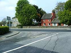 Clarina crossroads | |
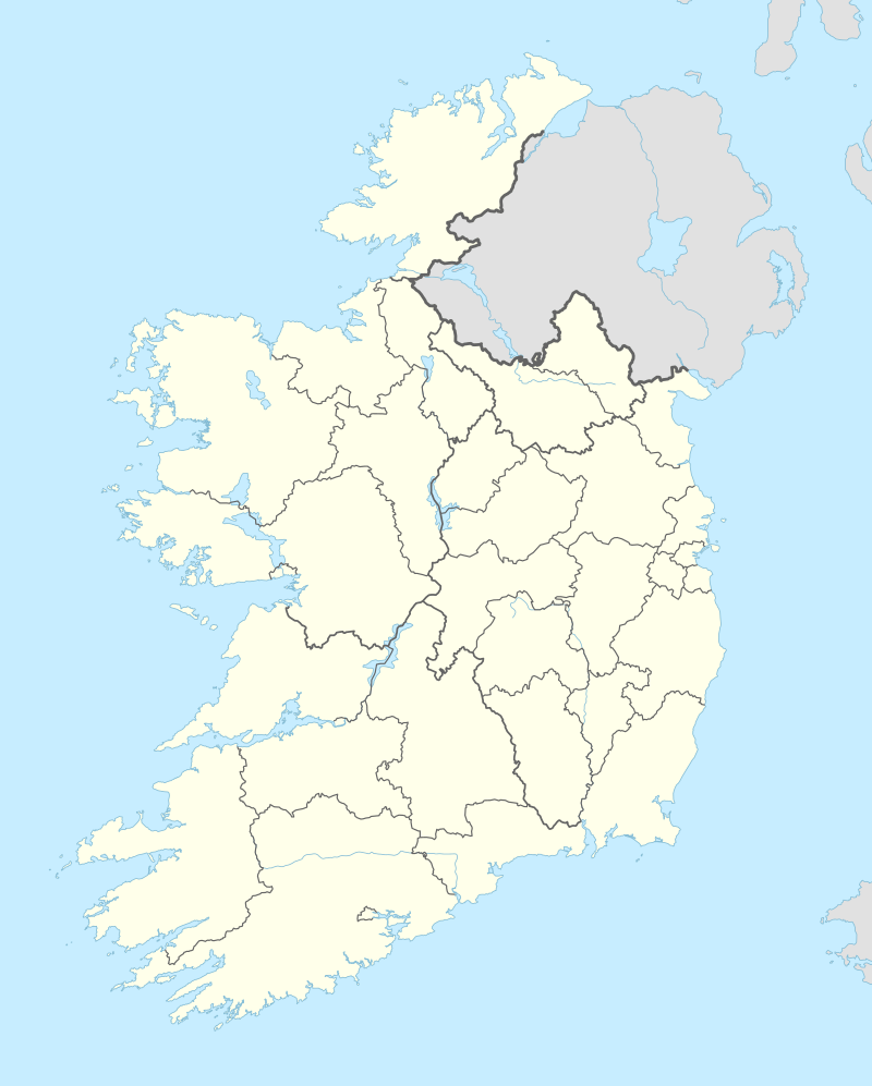 Clarina Location in Ireland | |
| Coordinates: 52°38′02″N 08°43′47″W | |
| Country | Ireland |
| Province | Munster |
| County | County Limerick |
| Time zone | UTC+0 (WET) |
| • Summer (DST) | UTC-1 (IST (WEST)) |
Clarina is within the Patrickswell-Ballybrown parish. The main area of interest is the nearby location of Carrigogunnell Castle.
Schools
Clarina has a National School called St. Josephs N.S. (mixed),[2]
History
Clarina Castle, also known as Elm Park, was designed for the 3rd Baron Clarina in the late 1820s. Further work was undertaken by Rawson Carroll in the 1880s. It was demolished in the 1960s.[3][4]
References
- "Placenames Database of Ireland". Dublin City University. Retrieved 13 November 2014.
- St. Josephs National School Web site
- http://archiseek.com/2012/clarina-castle-co-limerick/
- http://www.limerickcity.ie/media/Media,4111,en.pdf
External links
Places in County Limerick | ||
|---|---|---|
| Cities |  | |
| Towns | ||
| Villages and townlands |
| |
| ||