Chop Gate
Chop Gate (/tʃɒp jæt/ CHOP YAT) is a small village in the Hambleton district of North Yorkshire, England.[1][2] The village lies within the North York Moors National Park. Historically part of the North Riding of Yorkshire, the village is situated 7.5 miles (12 km) south east of Stokesley and 12.5 miles (20 km) north of Helmsley.
| Chop Gate | |
|---|---|
 Chop Gate Methodist Church | |
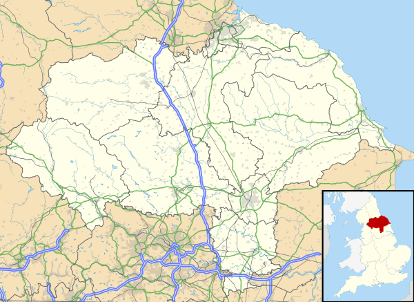 Chop Gate Location within North Yorkshire | |
| OS grid reference | SE 5594 9986 |
| District | |
| Shire county | |
| Region | |
| Country | England |
| Sovereign state | United Kingdom |
| Post town | Middlesbrough |
| Postcode district | TS9 |
| Police | North Yorkshire |
| Fire | North Yorkshire |
| Ambulance | Yorkshire |
| UK Parliament | |
References
- Ordnance Survey: Landranger map sheet 100 Malton & Pickering (Helmsley & Easingwold) (Map). Ordnance Survey. 2012. ISBN 9780319231203.
- "Ordnance Survey: 1:50,000 Scale Gazetteer" (csv (download)). www.ordnancesurvey.co.uk. Ordnance Survey. 1 January 2016. Retrieved 18 February 2016.
This article is issued from Wikipedia. The text is licensed under Creative Commons - Attribution - Sharealike. Additional terms may apply for the media files.