Chenoweth, Ohio
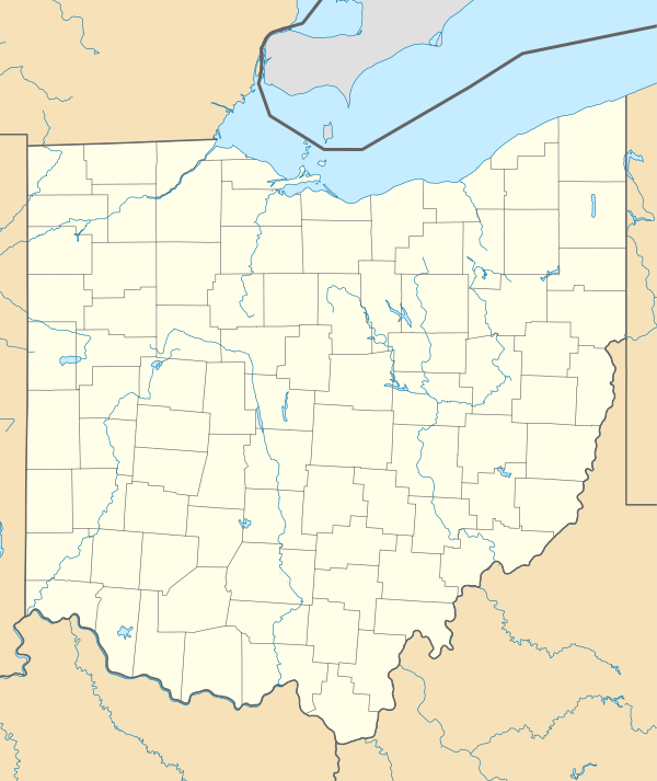
Chenoweth is an unincorporated community in Range Township, Madison County, Ohio, United States. It is located at 39°43′52″N 83°21′27″W,[2] along Ohio State Route 323 between McClimansville and Range.[3]
Chenoweth, Ohio | |
|---|---|
 Chenoweth, Ohio Location of Chenoweth, Ohio | |
| Coordinates: 39°43′52″N 83°21′27″W | |
| Country | United States |
| State | Ohio |
| Counties | Madison |
| Elevation | 955 ft (291 m) |
| Time zone | UTC-5 (Eastern (EST)) |
| • Summer (DST) | UTC-4 (EDT) |
| ZIP code | 43143 |
| Area code(s) | 740 |
| GNIS feature ID | 1056240[1] |
Chenoweth was never platted.[4] The community has the name of John Chenoweth, a pioneer settler.[5] The Chenoweth Post office was established on October 12, 1887, but was discontinued on September 15, 1900. The mail service is now sent through the Mount Sterling branch.[6] As of 1915, the community contained one grocery store, one blacksmith, and a small cluster of houses.[4]
References
- "US Board on Geographic Names". United States Geological Survey. 2007-10-25. Retrieved 2008-01-31.
- U.S. Geological Survey Geographic Names Information System: Chenoweth, Ohio
- Rand McNally. The Road Atlas '06. Chicago: Rand McNally, 2006, 80.
- Bryan, Chester E., History of Madison County, Ohio, B.F. Bowen & Company, Inc., Indianapolis, Indiana, 1915, Pg. 186.
- Overman, William Daniel (1958). Ohio Town Names. Akron, OH: Atlantic Press. p. 26.
- U.S. Geological Survey Geographic Names Information System: Chenoweth Post Office
Municipalities and communities of Madison County, Ohio, United States | ||
|---|---|---|
| City | 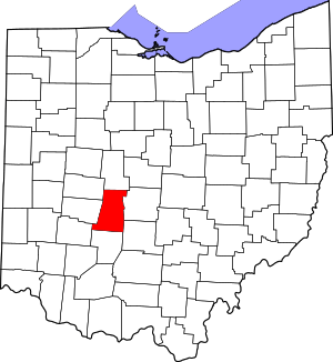 Map of Ohio highlighting Madison County | |
| Villages | ||
| Townships | ||
| CDPs | ||
| Unincorporated communities | ||
| Footnotes | ‡This populated place also has portions in an adjacent county or counties | |
This article is issued from Wikipedia. The text is licensed under Creative Commons - Attribution - Sharealike. Additional terms may apply for the media files.