Chak Jano Kalan
Chak Jano Kalan is a village and Union council of Phalia Tehsil, Mandi Bahauddin District, Punjab, Pakistan.[1]
Chak Jano Kalan | |
|---|---|
Village and Union Council | |
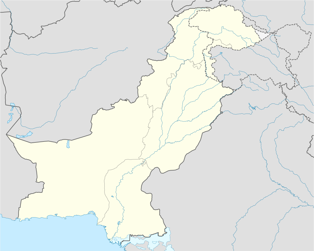 Chak Jano Kalan Location in Pakistan | |
| Coordinates: 32°27′N 73°43′E | |
| Country | |
| Region | Punjab |
| District | Mandi Bahauddin District |
| Tehsil | Phalia Tehsil |
| Time zone | UTC+5 (PST) |
Geography
Chak Jano Kalan also known as Jano Chak is a town and Union council of Phalia Tehsil, Mandi Bahauddin District, Punjab, Pakistan. It is located at 32°27'0N 73°43'0E with an altitude of 216 metres (711 feet) and lies about 34km South East of Mandi Bahauddin (the district capital) on the Gujrat-Sargodha Road. The nearest police station is Pharianwali Police Station, which is 3 km to the east.
Chak Jano is divided into three branches, Chak Jano Kalan, Chak Jano Khurd and Nai Abadi. The combined population of Chak Jano is 15,000.
About 40% of the population are farmers, 40% is labour, 15% is overseas, and other 5% is commercial and industrial.
References
- the leading caste in Chak Jano Kalan is WARRAICH Tehsils & Unions in the District of Mandi Bahauddin - Government of Pakistan Archived 2008-09-22 at the Wayback Machine
Neighbourhoods of Phalia | ||
|---|---|---|
Administration: Mandi Bahauddin District | ||
| Tehsil |
|  |
| Towns |
| |
| Towns Notable |
| |
| Union Councils of Phalia |
| |
Neighbourhoods of Mandi Bahauddin | ||
|---|---|---|
Administration: Mandi Bahauddin District | ||
| Tehsils |
| |
| Cities |
| |
| Union Councils of Phalia |
| |
| Union Councils of Malakwal |
| |
| Union Councils of Mandi Bahauddin |
| |
Website: [Mandi Bahauddin District at NRB | ||