Castelfranco Emilia
Castelfranco Emilia (Western Bolognese: Castèl; Modenese: Castèlfrànc) is a town and comune in Modena, Emilia-Romagna, north-central Italy. The town lies about 25 kilometres (16 mi) northwest of Bologna.
Castelfranco Emilia | |
|---|---|
| Comune di Castelfranco Emilia | |
 Villa Sorra | |
 Coat of arms | |
Location of Castelfranco Emilia 
| |
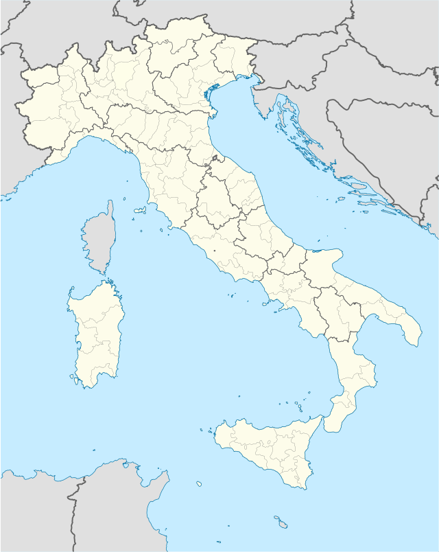 Castelfranco Emilia Location of Castelfranco Emilia in Italy 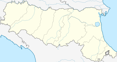 Castelfranco Emilia Castelfranco Emilia (Emilia-Romagna) | |
| Coordinates: 44°35′48″N 11°03′10″E | |
| Country | Italy |
| Region | Emilia-Romagna |
| Province | Modena (MO) |
| Frazioni | Casale California, Cavazzona, Gaggio, Madonna della Provvidenza, Manzolino, Panzano, Piumazzo, Rastellino, Recovato, Riolo |
| Government | |
| • Mayor | Giovanni Gargano (PD) |
| Area | |
| • Total | 102.51 km2 (39.58 sq mi) |
| Elevation | 42 m (138 ft) |
| Population (30 June 2017)[2] | |
| • Total | 32,613 |
| • Density | 320/km2 (820/sq mi) |
| Demonym(s) | Castelfranchesi |
| Time zone | UTC+1 (CET) |
| • Summer (DST) | UTC+2 (CEST) |
| Postal code | 41013 |
| Dialing code | 059 |
| Patron saint | Donnino |
| Saint day | September 8 |
| Website | Official website |
Castelfranco either occupies or lies near the site of the ancient Forum Gallorum, a place on the Via Aemilia between Modena and Bologna, where in 43 BC Octavian and Hirtius defeated Mark Antony. In 1861 it was joined with the former comune of Piumazzo.
This town is home of the tortellini, a typical Italian food. In this region lambrusco wine is also produced. The church of Santa Maria Assunta houses a picture of the Assumption of Mary by Guido Reni. Castelfranco has also a fortress built in 1628–34 by Urban VIII as a northern defensive bastion for the Papal States.
People
- Alfonsina Strada, the only woman ever to compete in the male Giro d'Italia (1924)
- Valerio Massimo Manfredi, historian, archaeologist and journalist (1943)
- Cécile Kyenge, Italian-Congolese politician and current Member of the European Parliament (1983)
Twin towns

Sources
- "Superficie di Comuni Province e Regioni italiane al 9 ottobre 2011". Istat. Retrieved 16 March 2019.
- All demographics and other statistics: Italian statistical institute Istat.
| Authority control |
|
|---|