Busto Garolfo
Busto Garolfo (Lombard: Büst Picul) is a comune (municipality) in the Metropolitan City of Milan in the Italian region Lombardy, located about 25 kilometres (16 mi) northwest of Milan.
Busto Garolfo | |
|---|---|
| Comune di Busto Garolfo | |
 Palazzo Molteni. | |
 Coat of arms | |
.svg.png) Busto Garolfo within the Metropolitan City of Milan | |
Location of Busto Garolfo 
| |
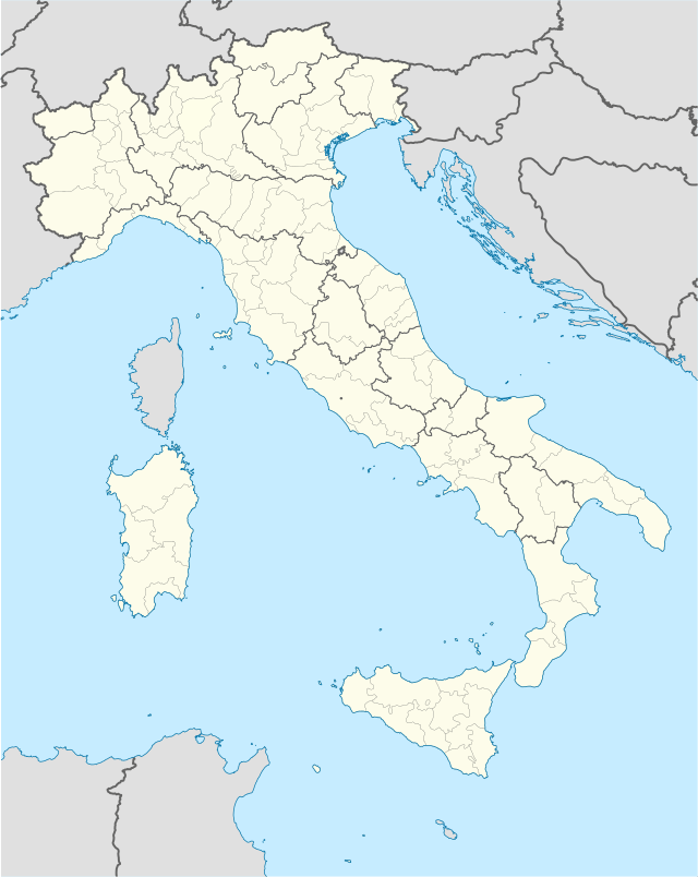 Busto Garolfo Location of Busto Garolfo in Italy 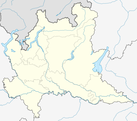 Busto Garolfo Busto Garolfo (Lombardy) | |
| Coordinates: 45°32′52″N 8°53′12″E | |
| Country | Italy |
| Region | Lombardy |
| Metropolitan city | Milan (MI) |
| Frazioni | Olcella |
| Government | |
| • Mayor | Susanna Biondi |
| Area | |
| • Total | 12.8 km2 (4.9 sq mi) |
| Elevation | 180 m (590 ft) |
| Population (28 February 2014)[2] | |
| • Total | 13,752 |
| • Density | 1,100/km2 (2,800/sq mi) |
| Demonym(s) | Bustesi |
| Time zone | UTC+1 (CET) |
| • Summer (DST) | UTC+2 (CEST) |
| Postal code | 20020 |
| Dialing code | 0331 |
| Patron saint | Beata Vergine del Rosario e santa Croce |
| Website | Official website |
History
The first mention of the village of Busto Garolfo is in a 992 AD document. At the end of the 13th century there were three altars in honor of Saints Bartholomew, Innocent and Margaret, in the ancient church of San Salvatore, which had been built by the aristocratic della Croce family which had owned land in the area since 1317. In 1464, Stefano Della Croce in his will ordered his heirs to build a chapel in honor of the Virgin in the main church of San Salvatore. During the Late Middle Ages, Busto Garolfo became a feud first of the Maggi family, then of the Arconati family and later, of the Losetti family. In 1664, Giambattista Losetti sold the town to Giuseppe Arconati, to whom the King of Spain conferred the title of Marquess of Busto Garolfo.
After more than a century of Austrian domination, the town became involved in the events of the Italian Wars of Independence. Italian and the Austrian armies, often transited here, including during the Battle of Magenta in 1859.
Geography
Busto Garolfo is located in the higher Po Valley. This area is called "Alto-Milanese" because of its location in the territory between the provinces of Milan and Varese. The town has got only one suburb named Olcella and located toward the north-western border. The Villoresi channel flows through the village. The lack of a nearby river required his construction, ended in 1890, to irrigate the corn fields in the area. Historically in the centre of the town there were two great weaving companies, now demolished to make way for some apartment buildings. In the post-war period the industrial area has spread to the east, in which there is a variety of small and medium-sized companies.
References
- "Superficie di Comuni Province e Regioni italiane al 9 ottobre 2011". Istat. Retrieved 16 March 2019.
- All demographics and other statistics: Italian statistical institute Istat.
Twin towns

External links