Burnby
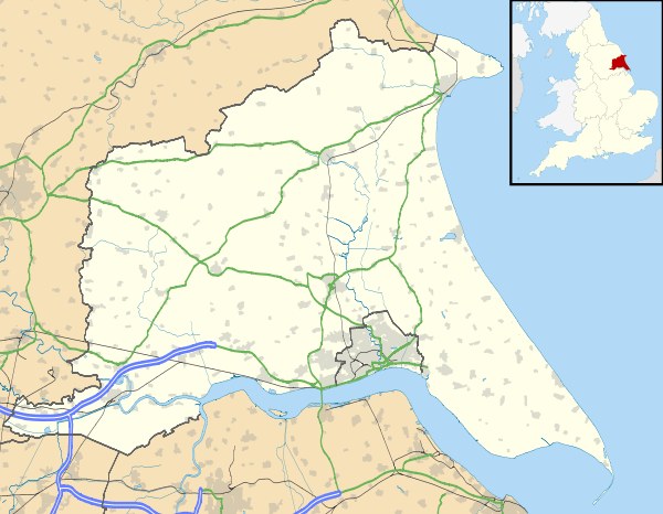
Burnby is a village in the East Riding of Yorkshire, England. It is situated approximately 2.5 miles (4 km) south-east of the market town of Pocklington and 4 miles (6.4 km) north-west of the market town of Market Weighton. It lies 1 mile (1.6 km) to the east of the A1079 road.
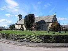
St Giles Church, Burnby
It forms part of the civil parish of Hayton and Burnby.
The church dedicated to St Giles was designated a Grade II* listed building in 1967 and is now recorded in the National Heritage List for England, maintained by Historic England.[1]
Burnby was served by Nunburnholme railway station on the York to Beverley Line between 1847 and 1951.[2]
References
- Historic England. "Church of Saint Giles (1084145)". National Heritage List for England. Retrieved 16 August 2013.
- Butt, R. V. J. (1995). The Directory of Railway Stations: details every public and private passenger station, halt, platform and stopping place, past and present (1st ed.). Sparkford: Patrick Stephens Ltd. ISBN 978-1-85260-508-7. OCLC 60251199.
- Gazetteer — A–Z of Towns Villages and Hamlets. East Riding of Yorkshire Council. 2006. p. 4.
This article is issued from Wikipedia. The text is licensed under Creative Commons - Attribution - Sharealike. Additional terms may apply for the media files.