Borris-in-Ossory
Borris-in-Ossory (Irish: Buiríos Mór Osraí, meaning "the great borough of Ossory", or the 'Burgage of Osraige')[2] is a village in west County Laois, Ireland. Bypassed by the M7 motorway on 28 May, 2010, the village is situated on the R445 road close to the County Tipperary border between the towns of Mountrath and Roscrea.
Borris-in-Ossory Buiríos Mór Osraí | |
|---|---|
Village | |
 St. Mark's Church of Ireland | |
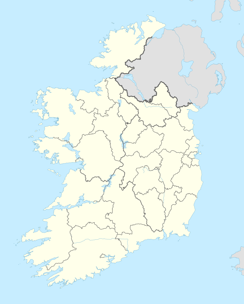 Borris-in-Ossory Location in Ireland | |
| Coordinates: 52.939°N 7.631°W | |
| Country | Ireland |
| Province | Leinster |
| County | County Laois |
| Elevation | 105 m (344 ft) |
| Population (2016)[1] | 508 |
| Irish Grid Reference | S246878 |
.jpg)
Features
The village has facilities such as a school, churches, community hall, convenience retail outlets and a number of service businesses. The village centre comprises Main Street and includes retail, commercial, institutional, educational and residential functions. Landmark buildings include the Hiberno Romanesque Church of Ireland church of St. Mark, built c.1870, with round tower style bell tower, St. Canice's Church (Roman Catholic), the Ossory of Borris-in-Ossory, and former courthouse. The renovated O’Brien Hall is used as a meeting place for the village's Youth Club and other activities.
Transport
The village is located on the R445 road with access to the M7 Limerick-Dublin motorway provided south of the village via junction 21. It is served by inter urban bus links to Dublin, Limerick, Galway, Cork and Carlow and a town link service connects nearby towns and villages. Long-distance bus passengers are familiar with Borris-in-Ossory because it serves as a refreshment stop, typically 15 minutes at a time. Ballybrophy railway station is located approximately 5 km south of the village.[3] The station is on the main Dublin-Cork railway line at its junction with the Limerick–Ballybrophy railway line. During 2009 a motorway junction was constructed at Borris-in-Ossory in preparation for the westward extension of the M7 motorway.
Education
Convent of Mercy National School currently has five classrooms and is currently preparing plans for a new eight classroom school extension.[3] The school was built in 1965.[4]
Religion
Churches in the area include St. Canice's (Roman Catholic) and St. Mark's (Church of Ireland), which are both on Borris-in-Ossory's main street.
Sport
The local Gaelic Athletic Association (GAA) club is Borris-in-Ossory GAA. The Gaelic playing fields are located 1.5 km to the east of the village. The amenities include a playing pitch, dressing and meeting rooms.[3] In 2011, the village's GAA club team and the nearby Kilcotton team were amalgamated into one team.
People
- Christy O'Brien (b.1933), inter-county hurler
- Brian Stanley (b.1961), politician
- J.J. Sheridan (1951–2014), concert pianist, was born in Borris-in-Ossory.
References
- "Sapmap Area - Settlements - Borris-in-Ossory". Census 2016. Central Statistics Office. April 2016. Retrieved 25 January 2020.
- "Buiríos Mór Osraí". logainm.ie. Placenames Database of Ireland. Retrieved 25 January 2020.
- "Borris in Ossory Village Plan" (PDF). Laois County Council, June 2007. Archived from the original (PDF) on 2011-07-21. Retrieved 2008-06-28.
- "Convent of Mercy, Borris-in-Ossory". Convent of Mercy website. Archived from the original on 2013-05-14. Retrieved 2008-06-28.
External links
Places in County Laois | ||
|---|---|---|
| Towns | 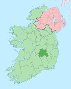 | |
| Villages and Townlands |
| |
| Landforms | ||
| ||