Blumenthal, Texas
Blumenthal is an unincorporated farming and ranching community on the Pedernales River in Gillespie County, in the U.S. state of Texas. It is located halfway between Fredericksburg and Stonewall on U.S. Highway 290, approximately at the intersection of Jung Lane. The community was believed to have been settled about 1900, and reached its peak population of twenty-five in 1945.[3]
Blumenthal, Texas | |
|---|---|
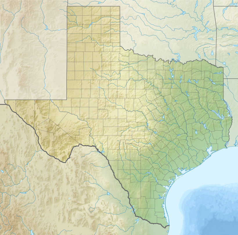 Blumenthal Location within the state of Texas  Blumenthal Blumenthal (the United States) | |
| Coordinates: 30°13′18″N 98°44′29″W | |
| Country | United States |
| State | Texas |
| County | Gillespie |
| Elevation | 1,506 ft (459 m) |
| Population (2000) | |
| • Total | 50 |
| Time zone | UTC-6 (Central (CST)) |
| • Summer (DST) | UTC-5 (CDT) |
| Area code(s) | 830 |
| FIPS code | 48-09028[1] |
| GNIS feature ID | 1378023[2] |
Nearby businesses are a bed and breakfast concern,[4] and Wildseed Farms.[5]
References
- "U.S. Census website". United States Census Bureau. Retrieved 2011-05-14.
- "US Board on Geographic Names". United States Geological Survey. 2007-10-25. Retrieved 2008-01-31.
- "Blumenthal map". US Department of the Interior. Retrieved 12 February 2011.
- "Blumenthal Farms". Retrieved 12 February 2011.
- "Wildseed Farms". Wildseed Farms. Retrieved 12 February 2011.
Municipalities and communities of Gillespie County, Texas, United States | ||
|---|---|---|
| City | 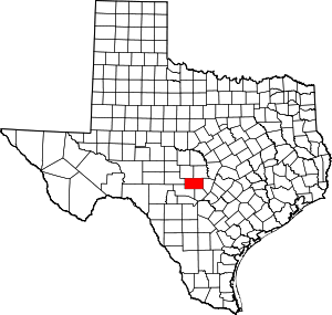 Gillespie County map | |
| CDPs | ||
| Other unincorporated communities | ||
| Ghost towns | ||
This article is issued from Wikipedia. The text is licensed under Creative Commons - Attribution - Sharealike. Additional terms may apply for the media files.