Beldanga
Beldanga is a city and a municipality in Barhampur subdivision of Murshidabad district in the state of West Bengal, India. Beldanga is an important trade centre of this district.
Beldanga Beldanga | |
|---|---|
City | |
| Beldanga | |
| Nickname(s): Beldanga | |
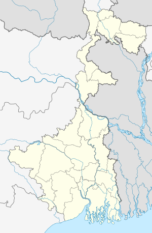 Beldanga Location in West Bengal, India  Beldanga Beldanga (India) | |
| Coordinates: 23.93°N 88.25°E | |
| Country | |
| State | West Bengal |
| District | Murshidabad |
| Government | |
| • Type | Municipality |
| • Body | Beldanga Municipality |
| Elevation | 20 m (70 ft) |
| Population (2001) | |
| • Total | 25,361 |
| Languages | |
| • Official | Bengali, Hindi |
| Time zone | UTC+5:30 (IST) |
| Lok Sabha constituency | Baharampur |
| Vidhan Sabha constituency | Beldanga |
Geography
Beldanga is located at 23.93°N 88.25°E.[1] It has an average elevation of 20 metres (65 feet).
Police station
Beldanga police station has jurisdiction over Beldanga municipal area and a part of Beldanga I CD Block.[2]
Demographics
As per 2001 Census of India,[3] Beldanga had a population of 25,361. Males constitute 52% of the population and females 48%. Beldanga has an average literacy rate of 67%, higher than the national average of 59.5%; with 55% of the literates being male and 45% being female. 13% of the population is under 6 years of age.
Transport
Beldanga railway station is well connected with Kolkata via Sealdah-Lalgola Division Railway. National Highway 34 passes through the Barua More, Beldanga town.
Education
Sewnarayan Rameswar Fatepuria College was established at Beldanga in 1965. It is affiliated to the University of Kalyani and offers BSc, BA (Hons) in Bengali and BCom (Hons) courses.[4] Education is provided by Beldanga CRGS High School, Hareknagar AM Institution, Harimati Girl's High School, Banipith Girl's High School, Sarat Pally Balika Vidyalay, Shrish Chandra Vidyapith, Swami Pranabananda Vidyapith, Beldanga Path Bhawan, Pranab Bharti Schools, and Beldanga Humayun Kabir Memorial B.Ed College. Mederdhar Shishu Madrasah
Healthcare
Beldanga Rural Hospital functions with 30 beds and Beldanga Block Primary Health Centre functions with 25 beds.[5]
See also
- Beldanga I (Community development block)
- Beldanga II (Community development block)
References
- Falling Rain Genomics, Inc - Beldanga
- "District Statistical Handbook 2014 Murshidabad". Table 2.1. Department of Statistics and Programme Implementation, Government of West Bengal. Archived from the original on 29 July 2017. Retrieved 17 May 2017.
- "Census of India 2001: Data from the 2001 Census, including cities, villages and towns (Provisional)". Census Commission of India. Archived from the original on 16 June 2004. Retrieved 1 November 2008.
- "Sewnarayan Rameswar Fatepuria College". Shiksha. Retrieved 12 September 2017.
- "Health & Family Welfare Department". Health Statistics. Government of West Bengal. Retrieved 19 September 2017.
Cities, towns and locations in Murshidabad District | |||||||||||
|---|---|---|---|---|---|---|---|---|---|---|---|
| Cities, municipal and census towns |
| ||||||||||
| Locations other than cities and towns |
| ||||||||||
| Neighbourhoods | |||||||||||
| Related topics |
| ||||||||||