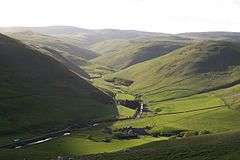
Barrow Burn
Barrowburn is a hamlet in Northumberland, England. It comprises a working farm with associated buildings and two holiday lets. One of the holiday lets is the Old School House, which closed as a school in the 1970s.[1][2]
| Barrowburn | |
|---|---|
 Barrowburn and Windyhaugh | |
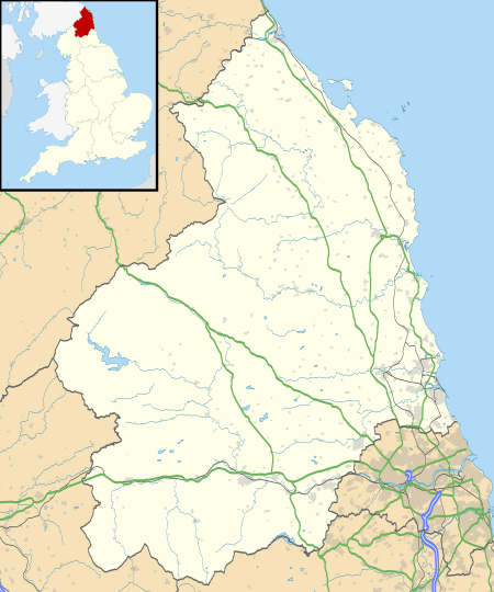 Barrowburn Location within Northumberland | |
| OS grid reference | NT865105 |
| District | |
| Shire county | |
| Region | |
| Country | England |
| Sovereign state | United Kingdom |
| Post town | MORPETH |
| Postcode district | NE65 |
| Police | Northumbria |
| Fire | Northumberland |
| Ambulance | North East |
| UK Parliament | |
Governance
Barrowburn is in the parliamentary constituency of Berwick-upon-Tweed.
References
- Ordnance Survey: Landranger map sheet 80 Cheviot Hills & Kielder Water (Map). Ordnance Survey. 2012. ISBN 9780319229668.
- "Ordnance Survey: 1:50,000 Scale Gazetteer" (csv (download)). www.ordnancesurvey.co.uk. Ordnance Survey. 1 January 2016. Retrieved 30 January 2016.
External links
![]()
This article is issued from Wikipedia. The text is licensed under Creative Commons - Attribution - Sharealike. Additional terms may apply for the media files.