Banks, Idaho
Banks is an unincorporated census-designated place in Boise County, Idaho, United States. Banks is located on Idaho State Highway 55 12 miles (19 km) north-northeast of Horseshoe Bend. Banks has a post office with ZIP code 83602.[2] As of the 2010 census, its population was 17.[3]
Banks, Idaho | |
|---|---|
Census-designated place | |
 Location of Banks in Boise County, Idaho. | |
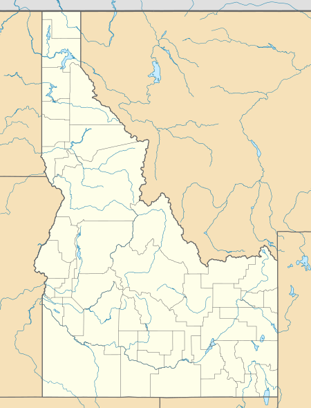 Banks, Idaho Location of Banks in Boise County, Idaho. | |
| Coordinates: 44°04′54″N 116°07′26″W | |
| Country | United States |
| State | Idaho |
| County | Boise |
| Area | |
| • Total | 2.249 sq mi (5.82 km2) |
| • Land | 2.209 sq mi (5.72 km2) |
| • Water | 0.040 sq mi (0.10 km2) |
| Elevation | 2,881 ft (878 m) |
| Population (2010) | |
| • Total | 17 |
| • Density | 7.6/sq mi (2.9/km2) |
| Time zone | UTC-7 (Mountain (MST)) |
| • Summer (DST) | UTC-6 (MDT) |
| ZIP code | 83602 |
| Area code(s) | 208, 986 |
| GNIS feature ID | 396068[1] |
The North and South forks of the Payette River meet at Banks, which makes it a popular destination for people rafting or kayaking on the Payette River. The "Main" run of the Payette River begins at Banks, while the "Staircase" run on the South Fork ends at Banks.
Climate
This climatic region has large seasonal temperature differences, with warm to hot (and often humid) summers and cold (sometimes severely cold) winters. According to the Köppen Climate Classification system, Banks has a humid continental climate, abbreviated "Dfb" on climate maps. [5]
References
- U.S. Geological Survey Geographic Names Information System: Banks, Idaho
- ZIP Code Lookup Archived June 15, 2011, at the Wayback Machine
- "U.S. Census website". U.S. Census Bureau. Retrieved 22 March 2011.
- "Census of Population and Housing". Census.gov. Retrieved June 4, 2016.
- Climate Summary for Banks, Idaho
Municipalities and communities of Boise County, Idaho, United States | ||
|---|---|---|
| Cities | Map of Idaho highlighting Boise County | |
| CDPs | ||
| Unincorporated communities | ||
| Authority control |
|
|---|