Balapur, Vikramgad
Balapur is a village in the Palghar district of Maharashtra, India. It is located in the Vikramgad taluka.[1]
Balapur | |
|---|---|
village | |
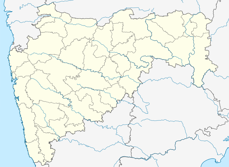 Balapur Location in Maharashtra, India  Balapur Balapur (India) | |
| Coordinates: 19.8368015°N 73.0936509°E | |
| Country | India |
| State | Maharashtra |
| District | Palghar |
| Taluka | Vikramgad |
| Elevation | 72 m (236 ft) |
| Population (2011) | |
| • Total | 2,617 |
| Time zone | UTC+5:30 (IST) |
| 2011 census code | 551768 |
Demographics
According to the 2011 census of India, Balapur has 507 households. The effective literacy rate (i.e. the literacy rate of population excluding children aged 6 and below) is 55.48%.[2]
| Total | Male | Female | |
|---|---|---|---|
| Population | 2617 | 1315 | 1302 |
| Children aged below 6 years | 436 | 229 | 207 |
| Scheduled caste | 0 | 0 | 0 |
| Scheduled tribe | 2599 | 1305 | 1294 |
| Literates | 1210 | 734 | 476 |
| Workers (all) | 1603 | 795 | 808 |
| Main workers (total) | 1562 | 779 | 783 |
| Main workers: Cultivators | 1057 | 534 | 523 |
| Main workers: Agricultural labourers | 476 | 234 | 242 |
| Main workers: Household industry workers | 3 | 0 | 3 |
| Main workers: Other | 26 | 11 | 15 |
| Marginal workers (total) | 41 | 16 | 25 |
| Marginal workers: Cultivators | 12 | 6 | 6 |
| Marginal workers: Agricultural labourers | 11 | 6 | 5 |
| Marginal workers: Household industry workers | 0 | 0 | 0 |
| Marginal workers: Others | 18 | 4 | 14 |
| Non-workers | 1014 | 520 | 494 |
References
- "Maharashtra villages" (PDF). Land Records Information Systems Division, NIC. Archived from the original (PDF) on 4 March 2016. Retrieved 17 August 2015.
- "District census data". 2011 Census of India. Directorate of Census Operations. Archived from the original on 2 October 2015. Retrieved 17 August 2015.
This article is issued from Wikipedia. The text is licensed under Creative Commons - Attribution - Sharealike. Additional terms may apply for the media files.