Axtell, Utah
Axtell is an unincorporated community in the Sevier Valley on the southwestern edge of Sanpete County, Utah, United States.[1]
Axtell, Utah | |
|---|---|
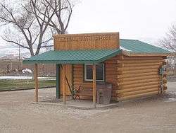 Axtell post office, April 2010 | |
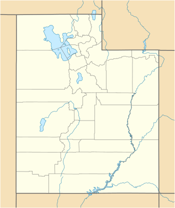 Axtell, Utah Location of Axtell within the State of Utah | |
| Coordinates: 39°3′19″N 111°49′19″W | |
| Country | United States |
| State | Utah |
| County | Sanpete |
| Settled | 1870 |
| Founded by | Lars Peter Fjeldsted |
| Named for | Samuel Beach Axtell |
| Elevation | 5,151 ft (1,570 m) |
| Time zone | UTC-7 (Mountain (MST)) |
| • Summer (DST) | UTC-6 (MDT) |
| ZIP codes | 84621 |
| Area code(s) | 435 |
| GNIS feature ID | 1437493[1] |
Description
| Historical population | |||
|---|---|---|---|
| Census | Pop. | %± | |
| 1930 | 266 | — | |
| 1940 | 288 | 8.3% | |
| 1950 | 238 | −17.4% | |
| Source: U.S. Census Bureau[2] | |||
The community is located on the U.S. Route 89 between the cities of Centerfield and Salina. The town was settled in 1870 under the name of Willowcreek (being located along the Willow Creek).[3] It was renamed for Utah's former territorial governor Samuel Beach Axtell in 1891.[4]
See also
![]()
References
- U.S. Geological Survey Geographic Names Information System: Axtell. Retrieved on May 17, 2011.
- "Census of Population and Housing". United States Census Bureau. Archived from the original on 8 February 2006. Retrieved 4 Nov 2011.
- Van Cott, John W. (1990). Utah Place Names: A Comprehensive Guide to the Origins of Geographic Names: A Compilation. Salt Lake City: University of Utah Press. p. 17. ISBN 978-0-87480-345-7. OCLC 797284427.
- Antrei, Albert C.T.; Roberts, Allen D. (January 1999). A History of Sanpete County. Utah Centennial County History Series. Salt Lake City: Utah State Historical Society. pp. 353–354. ISBN 0-913738-42-5.
External links
![]()
Municipalities and communities of Sanpete County, Utah, United States | ||
|---|---|---|
| Cities | 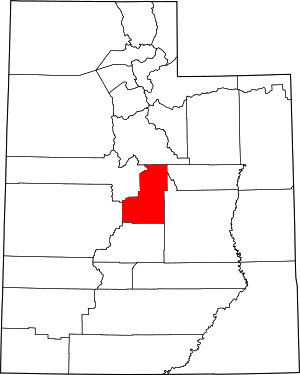 Map of Utah highlighting Sanpete County | |
| Towns | ||
| Unincorporated communities | ||
| Ghost towns | ||
This article is issued from Wikipedia. The text is licensed under Creative Commons - Attribution - Sharealike. Additional terms may apply for the media files.