Ashland/Lineville Airport
Ashland/Lineville Airport (FAA LID: 26A) is a county-owned public-use airport located 2 nautical miles (4 km) northeast of the central business district of Ashland, a town in Clay County, Alabama, United States.[1] According to the FAA's National Plan of Integrated Airport Systems for 2009–2013, it is categorized as a general aviation facility.[2]
Ashland/Lineville Airport | |||||||||||
|---|---|---|---|---|---|---|---|---|---|---|---|
 NAIP aerial image, 15 June 2006 | |||||||||||
| Summary | |||||||||||
| Airport type | Public | ||||||||||
| Owner | Clay County, Alabama | ||||||||||
| Serves | Ashland-Lineville, Alabama | ||||||||||
| Elevation AMSL | 1,065 ft / 324.6 m | ||||||||||
| Coordinates | 33°17′03″N 085°48′33″W | ||||||||||
| Map | |||||||||||
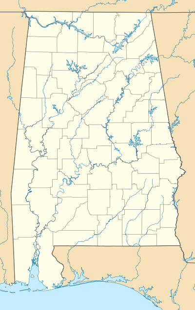 26A Location of airport in Alabama | |||||||||||
| Runways | |||||||||||
| |||||||||||
| Statistics (2017) | |||||||||||
| |||||||||||
Facilities and aircraft
Ashland/Lineville Airport covers an area of 35 acres (0.05 sq mi; 0.14 km2) which contains one runway designated 9/27 is 3,997 x 80 feet (1,218 x 24 meters) asphalt pavement. For the 12-month period ending February 12, 2007, the airport had 2,863 general aviation aircraft operations.[1]
References
- FAA Airport Master Record for 26A (Form 5010 PDF), effective January 5, 2017
- National Plan of Integrated Airport Systems for 2009–2013: Appendix A: Part 1 (PDF, 1.33 MB) Archived August 6, 2011, at the Wayback Machine. Federal Aviation Administration. Updated 15 October 2008.
External links
- Resources for this airport:
- FAA airport information for 26A
- AirNav airport information for 26A
- FlightAware airport information and live flight tracker
- SkyVector aeronautical chart for 26A
This article is issued from Wikipedia. The text is licensed under Creative Commons - Attribution - Sharealike. Additional terms may apply for the media files.