Anadolukavağı
Anadolukavağı, also known as Anadolu Kavağı, is a neighborhood of Beykoz district in İstanbul Province, Turkey. "Anadolu" is the Turkish name for Anatolia, and "Kavak" means "control post" in Ottoman Turkish referring to the strategical position of the location on the Bosporous. It is directly opposite to Rumelikavağı on the other side of the Bosphorus. The place was called Hieron (Ancient Greek: ἱερόν) in the ancient, an important outpost for the Romans and the Byzantines.[1]
Anadolukavağı | |
|---|---|
Neighborhood | |
 Anadolukavağı from the Bosphorus | |
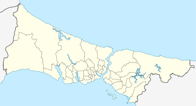 Anadolukavağı Location of Anadolukavağı in Istanbul, turkey | |
| Coordinates: 41°10′28″N 29°05′22″E | |
| Country | |
| Region | Marmara |
| Province | Istanbul |
| District | Beykoz |
| Population | |
| • Total | about 2,000 |
| Time zone | UTC+3 (EET) |
| • Summer (DST) | UTC+3 (EEST) |
| Postal code | 34825 |
| Area code | 0-216 |
It is actually a historical fishing village. There are a number of fishfood restaurants. The native population is low, however, the stationed military personnel at the local installations contribute to the population number of about 2,000. There are two notable structures in the neighborhood, a mosque commissioned by Ali Pasha of Midilli (Lesbos) built in 1593, and a fountain commissioned by a certain Cevriye Hatun in 1785. The old Genoese fortress Yoros Castle is situated on a hill to the northeast of Anadolukavağı.[2][1] The beach at the place offers swimming possibility.[3]
The city passenger ferry lines company "Şehir Hatları" maintains connection from Üsküdar,[4] and between Sarıyer, Rumelikavağı on the European side of Bosphorus and Anadolukavağı several times a day.[5]
References
- Gamm, Niki (2012-10-06). "A guardian of the Bosphorus Strait: Anadolu Kavağı". Hürriyet Daily News. Retrieved 2017-07-12.
- "Gezelim biraz!: Anadolukavağı (Gezelimbiraz Travellers notes)". gezelimbiraz.com. Retrieved 2017-07-11.
- "'İstanbul'da 87 yerde denize girilebilir'". Hürriyet (in Turkish). 2006-05-14. Retrieved 2017-07-12.
- "Anadolu Kavağı - Üsküdar" (in Turkish). Şehir Hatları. Retrieved 2017-07-12.
- "Sarıyer - Rumeli Kavağı - Anadolu Kavağı" (in Turkish). Şehir Hatları. Retrieved 2017-07-12.
| Kadıköy | |
|---|---|
| Üsküdar | |
| Beykoz | |
| Wikimedia Commons has media related to Anadolu Kavağı. |