Amherstdale, West Virginia
Amherstdale is a census-designated place in Logan County, West Virginia, United States, along Buffalo Creek.[4]
Amherstdale, West Virginia | |
|---|---|
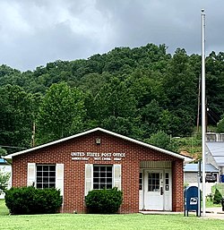 Amherstdale West Virginia Post Office | |
 Amherstdale, West Virginia | |
| Coordinates: 37°47′07″N 81°48′33″W | |
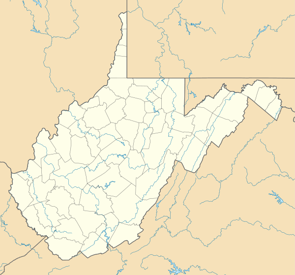
| Country | United States |
| State | West Virginia |
| County | Logan |
| Area | |
| • Total | 2.970 sq mi (4.779752 km2) |
| • Land | 2.952 sq mi (4.7507835 km2) |
| • Water | 0.018 sq mi (0.028968192 km2) |
| Elevation | 896 ft (273.101 m) |
| Population (2020)[2] | |
| • Total | 503 |
| Time zone | UTC-5 (Eastern (EST)) |
| • Summer (DST) | UTC-4 (EDT) |
| ZIP code | 25607 |
| Area code(s) | 304 & 681 |
| GNIS feature ID | 1534919[3] |
Its population was 503 as of the 2020 Cencus.[2]
Prior to 2010, Amherstdale was part of the Amherstdale-Robinette CDP. Amherstdale has a post office with ZIP code 25607.[5]
Amherstdale was also affected by the Buffalo Creek flood disaster witch killed, injured, and left thousands homeless.
Amherstdale got its name from the Amherst Coal Company. Many other places such as Accoville also got their name from the Amherst Coal Company.
References
- "US Gazetteer files: 2010, 2000, and 1990". United States Census Bureau. 2011-02-12. Retrieved 2011-04-23.
- "U.S. Census website". United States Census Bureau. Retrieved 2011-05-14.
- U.S. Geological Survey Geographic Names Information System: Amherstdale, West Virginia
- West Virginia Atlas & Gazetteer. Yarmouth, Me.: DeLorme. 1997. p. 58. ISBN 0-89933-246-3.
- United States Postal Service (2012). "USPS - Look Up a ZIP Code". Retrieved 2012-02-15.

This article is issued from Wikipedia. The text is licensed under Creative Commons - Attribution - Sharealike. Additional terms may apply for the media files.