Algueirão–Mem Martins
Algueirão – Mem Martins (Portuguese pronunciation: [aɫɡɐjˈɾɐ̃w̃ ˈmɐ̃ȷ̃ mɐɾˈtĩʃ]) is a Portuguese civil parish, in the municipality (concelho) of Sintra.
Algueirão–Mem Martins | |
|---|---|
 Coat of arms | |
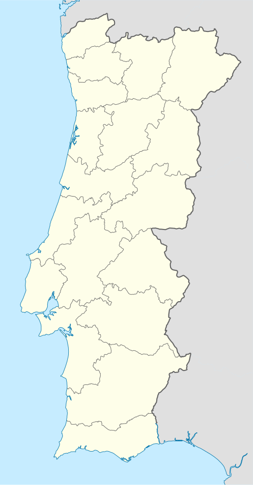 Algueirão–Mem Martins Location in Portugal | |
| Coordinates: 38.8°N 9.35°W | |
| Country | |
| Region | Lisboa |
| Metropolitan area | Lisbon |
| District | Lisbon |
| Municipality | Sintra |
| Area | |
| • Total | 16.00 km2 (6.18 sq mi) |
| Population (2011) | |
| • Total | 66,250 |
| • Density | 4,100/km2 (11,000/sq mi) |
| Time zone | UTC±00:00 (WET) |
| • Summer (DST) | UTC+01:00 (WEST) |
It was elevated from the status of village to town on 1 February 1988.[1]
History
Toponymy
The toponym 'Algueirão' dates back the Muslim presence in the region between the 8th and 12th centuries. It evolved from the Arab term al-gueirān, meaning the caves.
'Mem Martins' is a proper name of uncertain origin, consisting of the medieval given name Mem and the patronymic Martins, likely after one of the first property owners in the region following the Portuguese conquest of Lisbon and Sintra.[2]
Demographics
The population in 2011 was 66,250.[5] The population density is about 4000 inhabitants per square kilometer.
Notable structures
- Fountain of Sacotes (Fontanário de Sacotes)
- Church of Nossa Senhora das Mercês (Capela e Recinto da Feira das Mercês/Igreja de Nossa Senhora das Mercês), a 17th-century church and churchyard;
- Hermitage of São Romão (Ermida de São Romão), a Manueline-era rural hermitage, comprising one nave with a vaulted ceiling.
References
- Lei n.º 21/88, de 1 de Fevereiro
- Qual o nome de um natural de Mem Martins? E do Algueirão?
- "Áreas das freguesias, concelhos, distritos e país". Archived from the original on 2018-11-05. Retrieved 2018-11-05.
- As Freguesias do Município de Sintra segundo os dados provisórios dos CENSOS 2011 Archived 2012-01-28 at the Wayback Machine
- Instituto Nacional de Estatística (INE), Census 2011 results according to the 2013 administrative division of Portugal
Parishes of Sintra Municipality | ||
|---|---|---|
| ||
This article is issued from Wikipedia. The text is licensed under Creative Commons - Attribution - Sharealike. Additional terms may apply for the media files.