Agnières-en-Dévoluy
Agnières-en-Dévoluy is a former commune of the Hautes-Alpes department in southeastern France. Mountainous, to the west is Rocher Rond. On 1 January 2013, Agnières-en-Dévoluy, La Cluse, Saint-Disdier, and Saint-Étienne-en-Dévoluy amalgamated into the new commune of Le Dévoluy.
Agnières-en-Dévoluy | |
|---|---|
Part of Le Dévoluy | |
 The church of Agnières-en-Dévoluy | |
 Coat of arms | |
Location of Agnières-en-Dévoluy 
| |
 Agnières-en-Dévoluy 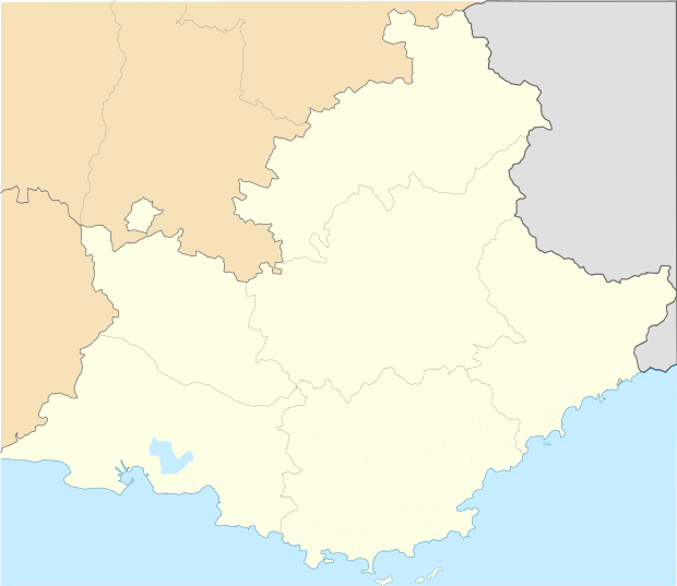 Agnières-en-Dévoluy | |
| Coordinates: 44°41′42″N 5°52′56″E | |
| Country | France |
| Region | Provence-Alpes-Côte d'Azur |
| Department | Hautes-Alpes |
| Arrondissement | Gap |
| Canton | Veynes |
| Commune | Le Dévoluy |
| Area 1 | 32.46 km2 (12.53 sq mi) |
| Population (2017)[1] | 291 |
| • Density | 9.0/km2 (23/sq mi) |
| Time zone | UTC+01:00 (CET) |
| • Summer (DST) | UTC+02:00 (CEST) |
| Postal code | 05250 |
| Elevation | 1,114–2,597 m (3,655–8,520 ft) (avg. 1,270 m or 4,170 ft) |
| 1 French Land Register data, which excludes lakes, ponds, glaciers > 1 km2 (0.386 sq mi or 247 acres) and river estuaries. | |
Population
| Year | Pop. | ±% |
|---|---|---|
| 2006 | 259 | — |
| 2007 | 266 | +2.7% |
| 2008 | 266 | +0.0% |
| 2009 | 270 | +1.5% |
| 2010 | 270 | +0.0% |
| 2011 | 271 | +0.4% |
| 2012 | 293 | +8.1% |
This article is issued from Wikipedia. The text is licensed under Creative Commons - Attribution - Sharealike. Additional terms may apply for the media files.