Afder Zone
Afder (Somali: Afdheer) is one of the eleven Zones of the Somali Region of Ethiopia. Afder is bordered on the southwest by the Ganale Dorya River which separates it from Liben, on the west by the Oromia Region, on the north by Nogob Zone, on the northeast by Shabele Zone, and on south by the Somalia federal states of Hirshabelle, South West and Jubaland. The administrative center of Afder is Hargele; other towns in Afder include West Imey, and Cherti
Afder Zone Gobolka Afdheer | |
|---|---|
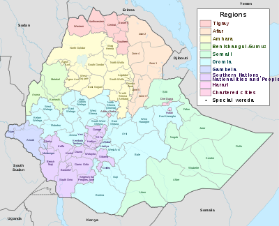
 Map of Afder Zone | |
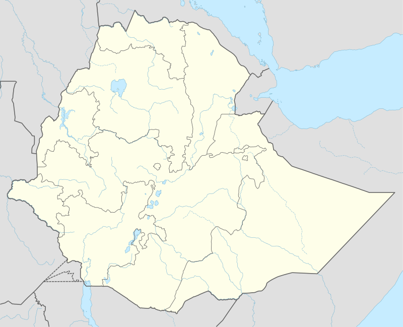 Afder Zone Location within Ethiopia | |
| Coordinates: 5°15′N 43°00′E | |
| Country | Ethiopia |
| Region | Somali |
| Zone | Afder |
| Population (2007) | |
| • Total | 570,629 |
| Time zone | UTC+3 (EAT) |
Demographics
Based on the 2007 Census conducted by the Central Statistical Agency of Ethiopia (CSA), this Zone has a total population of 570,629, of whom 325,764 are men and 244,865 women. While 45,763 or 8.02% are urban inhabitants, a further 316,032 or 55.38% were pastoralists. Somali language is spoken as a first language by 88.21%; the remaining 11.79% spoke all other primary languages reported. 99.19% of the population said they were Muslim.[1]
The 1997 national census reported a total population for this Zone of 358,998 in 53,075 households, of whom 200,948 were men and 158,050 were women; 25,747 or 7.17% of its population were urban dwellers. (This total also includes an estimate for the inhabitants of 9 rural kebeles, which were not counted; they were estimated to have 6,526 inhabitants, of whom 3,222 were men and 3,304 women.) The two largest ethnic groups reported in Afder were the Somali who make up 96.3% of the population and the Oromo (1.29%); all other ethnic groups made up 2.5% of the population. Somali was spoken as a first language by 93.23% of the inhabitants, and Garire by 2.16%; the remaining 4.61% spoke all other primary languages reported. Concerning education in the Zone, 3.43% of the population were considered literate; 0.57% of children aged 7–12 were in primary school, while a negligible number of the children aged 13–14 were in junior secondary school, and none of children aged 15–18 were in senior secondary school. About 24.2% of the urban houses and 6.7% of all houses had access to safe drinking water at the time of the census; about 23% of the urban and 4.3% of the total had toilet facilities.[2]
Development
According to a May 24, 2004 World Bank memorandum, none of the inhabitants of Afder have access to electricity, this zone has a road density of 8.3 kilometers per 1000 square kilometers, the average rural household has 0.6 hectare of land (compared to the national average of 1.01 hectare of land and an average of 2.25 for pastoral Regions)[3] and the equivalent of 3.1 heads of livestock. 28.2% of the population is in non-farm related jobs, compared to the national average of 25% and an average of 28% for pastoral Regions. 12% of all eligible children are enrolled in primary school, and none in secondary schools. 100% of the zone is exposed to malaria, and none to Tsetse fly. The memorandum gave this zone a drought risk rating of 660.[4]
In April 2006, in partnership with Al-Nejah Relief, CHF International began a program to restore shallow wells and improve sanitation habits in the Afder and Gode Zones of the Somali Region.[5]
Agriculture
On 5–23 November 2003, the CSA conducted the first ever national agricultural census, of which the livestock census was an important component.[6] For the Somali Region, the CSA generated estimated figures for the livestock population (cattle, sheep, goats, camels, and equids) and their distribution by commissioning an aerial survey. For the Afder Zone, their results included:
| Animal | Estimated total | number per sqk. |
|---|---|---|
| cattle | 166,471 | 2.8 |
| sheep | 1,152,509 | 31.3 (including goats) |
| goats | 722,709 | 31.3 (including sheep) |
| camels | 140,454 | 2.3 |
| asses | 4,327 | 0.1 (all equids) |
| mules | 63 | 0.1 (all equids) |
| horses | 16 | 0.1 (all equids) |
Notes
- Census 2007 Tables: Somali Region Archived 2012-11-14 at the Wayback Machine, Tables 2.1, 2.4, 3.1, 3.2 and 3.4.
- 1994 Population and Housing Census of Ethiopia: Results for Somali Region, Vol. 1 Archived 2008-11-19 at the Wayback Machine Tables 2.1, 2.2, 2.12, 2.15, 3.5, 3.7, 6.11, 6.13 (accessed 12 January 2009). The results of the 1994 census in the Somali Region were not satisfactory, so the census was repeated in 1997.
- Comparative national and regional figures comes from the World Bank publication, Klaus Deininger et al. "Tenure Security and Land Related Investment", WP-2991 Archived 2007-03-10 at the Wayback Machine (accessed 23 March 2006) This publication defines Benishangul-Gumaz, Afar and Somali as "pastoral Regions".
- World Bank, Four Ethiopias: A Regional Characterization (accessed 23 March 2006).
- CHF International, Grassroots Conflict Assessment in the Somali Region Archived July 26, 2011, at the Wayback Machine (Aug. 2006), p. 7 (accessed 12 December 2008)
- "Livestock aerial survey in the Somali Region" Archived 2011-07-16 at the Wayback Machine, CSA (November 2003), Tables 4, 6 (accessed 17 May 2009)
Zones of the Somali Region | ||
|---|---|---|
Woredas of the Afder Zone | ||
|---|---|---|