Štôla
Štôla is a village and small municipality in Poprad District in the Prešov Region of northern Slovakia.[1] It lies on the foothills of High Tatras.
Štôla | |
|---|---|
Municipality | |
 Coat of arms | |
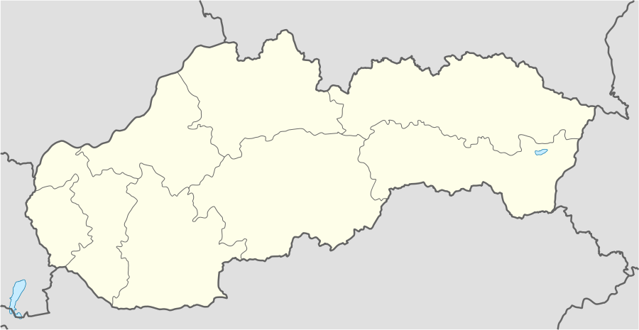 Štôla Location of Štôla in Slovakia | |
| Coordinates: 49°05′33″N 20°08′29″E | |
| Country | Slovakia |
| Region | Prešov |
| District | Poprad |
| Area | |
| • Total | 2.555079 km2 (0.986522 sq mi) |
| Elevation | 853 m (2,799 ft) |
| Population (31 December 2010) | |
| • Total | 514 |
| • Density | 200/km2 (520/sq mi) |
| Postal code | 059 37 |
| Area code(s) | +421-52 |
| Car plate | PP |
| Website | www.stola.sk |
History
In historical records the village was first mentioned in 1330.
Geography
The municipality lies at an altitude of 840 metres and covers an area of 2.555 km². It has a population of about 550 people.
Economy and infrastructure
The village has a developed touristic infrastructure with several types and categories of accommodation. Cultural sightseeing is neo-classical evangelical church from 19th century.
References
- "Statistical Office of the Slovak Republic" (PDF). Výsledky SODB 2011. Štatistický úrad SR. Retrieved 2012-09-08.
This article is issued from Wikipedia. The text is licensed under Creative Commons - Attribution - Sharealike. Additional terms may apply for the media files.