Štítnik
Štítnik is a village and municipality in the Rožňava District in the Košice Region of middle-eastern Slovakia.
Štítnik | |
|---|---|
Municipality | |
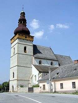 Evangelical church in Štítnik | |
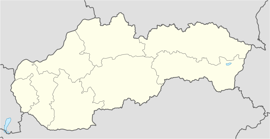 Štítnik Location of Štítnik in Slovakia | |
| Coordinates: 48°39′34″N 20°21′50″E | |
| Country | Slovakia |
| Region | Košice |
| District | Rožňava |
| First mentioned | 1243 |
| Government | |
| • Mayor | Miloš Gallo Barnák |
| Area | |
| • Total | 34.544 km2 (13.338 sq mi) |
| Elevation | 284 m (932 ft) |
| Population (31 December 2010) | |
| • Total | 1,544 |
| • Density | 45/km2 (120/sq mi) |
| Time zone | UTC+1 (CET) |
| • Summer (DST) | UTC+2 (CEST) |
| Postal code | 04932 |
| Area code(s) | 421-58 |
| Car plate | RV |
| Website | http://www.stitnik.sk/ |
Geography
The village lies at an altitude of 345 metres and covers an area of 34.544 km². It has a population of about 1485 people. The village is situated in the historical region of Gemer. It is located about 14 kilometers from Rožňava.
History
Historical discoveries prove that the origin of this settlement date from the earlier part of the Middle Ages, the 12th century. The town belonged to the owners of Gemer Castle. Later developed as an important mining town in a region.
Historic buildings
The Gothic Evangelical Church in the village was built in the 14th century; it contains the oldest organ in Central Europe, constructed in 1491. There is also a Renaissance altar from 1636, and extensive mediaeval wall paintings.
The trown also contains the Vodný Hrad (Water Castle) which was built in the 14th century.
Recreations
The village has a public library, a gymnasium and a football pitch. It also has a cinema.
External links