Western Karadeniz
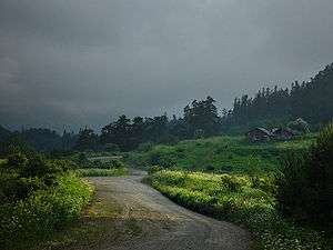
Extending for about 500 km along the Turkish Black Sea coast, Western Karadeniz (Turkish: Batı Karadeniz) is a region of remote and rugged shores backed by lush and hazy mountains, with a layer of a century-old industrial and mining heritage inbetween. The main drawcards, though, are the old towns dotting the region from one end to the other, both on the coast and inland, ranging from run-down and modest to the perfectly renovated and up and ready for tourism, and the pristine, scenic mountain lakes.
Cities

- 🌍 Akçakoca — coastal town with a Genoese citadel
- 🌍 Amasra — a beautiful seaside resort town with a nice beach, pleasant vistas, and great fish restaurants
- 🌍 Bolu
- 🌍 Boyabat
- 🌍 Kastamonu — a riverside city with a pleasant historic old town
- 🌍 Safranbolu — a town noted for its preserved whitewashed Ottoman architecture and streetscape. Also a World Heritage site.
- 🌍 Sinop — an ancient fortress and port city on the northernmost tip of Anatolia
- 🌍 Zonguldak — a bleak industrial city surrounded by coal mines
Other destinations
- 🌍 Abant — a mountain lake near the Istanbul–Ankara motorway with some well-established tourism infrastructure, offering hiking and horseback riding along its trails
- 🌍 Ilgaz National Park — wintersport resort surrounded by lush spruce forests and beautiful vistas
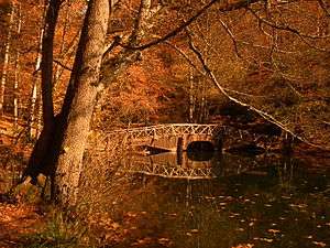
- 🌍 Yedigöller ("Seven lakes") — seven small lakes tucked away in a heavily forested national park, which goes extremely scenic in autumn
Understand
Except for the UNESCO-listed Ottoman old town of Safranbolu, Western Karadeniz often goes unexplored by the travellers, and for most, it is simply a line of blurry mountain and forest images on the other side of the window when transiting through the motorway between Istanbul and Ankara. This is quite understandable, given that those that want to check out a slice of Turkey's north usually opt for the better known (and perhaps, more "exotic") Eastern Karadeniz, and the beachgoers simply prefer the warmer waters (and the sunnier climate) of the Aegean and the Mediterranean. However, give Western Karadeniz a chance (even if that means a short break on your long journey across the country), and you are unlikely to regret it.
Bordered by the Marmara Region to west, Central Anatolia to south, and Central Karadeniz to east, Western Karadeniz largely matches with the ancient region of Paphlagonia.
Get in

It's fairly easy to get in the westernmost sections of the region (around Düzce and Bolu) as they lie on the main motorway between Istanbul and Ankara (O-4/E80), the biggest Turkish cities. Getting into most other parts of the coastline involves quitting this motorway at Düzce and then heading for north to Akçakoca, where the highway meets the coastal road.
Buses to cities and some towns of the region from big cities of the country can be found.
Only Zonguldak (and a number of other towns —most notably Karabük— on the way) in the region has a rail connection with the rest of the country. But this shouldn't be taken to mean that it has lots of connections—it's served by a single daily train from Ankara.