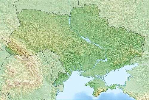
Dzhvynuv
The Zwinin (Ukrainian: Джвинув or Dschwynuw; Polish: Dżwinów) is a mountain a few kilometers south of Stryi, Ukraine, in the Outer Eastern Carpathians.
| Dzhvynuv | |
|---|---|
| Джвинув | |
The slope from Orava to Zwinin I, clearly recognizable by the parallel walls of the old positions | |
| Highest point | |
| Elevation | 1,107 m (3,632 ft) |
| Coordinates | 48°58′26″N 23°44′04″E |
| Geography | |
 Dzhvynuv Ukraine | |
| Country | |
| Parent range | Carpathian Mountains |
The peak is 1107 meters[1][2] above sea level and the ridge is 10 kilometers long. Together with the River Stryi, the mountain is part of a national park called “natsional'ny park Skolivs'ki Beskydy” (National Park of the Skole Beskids).
In World War I a battle took place from 5 February – 9 April 1915. The South-East-Army of the Central Powers took the Zwinin under the leadership of Felix Graf von Bothmer.
References
- Гора Джвинув Archived 2014-08-28 at the Wayback Machine (in Ukrainian)
- Travel Archived 2013-02-13 at the Wayback Machine. Map of Staff M-34-119 (13-34-119) in 1988. Square 28-62
Images
- Images from the Zwinin (in German)
- Кординати Гори Джвинув (1107.3 м) (in Ukrainian)
This article is issued from Wikipedia. The text is licensed under Creative Commons - Attribution - Sharealike. Additional terms may apply for the media files.