Záhornice
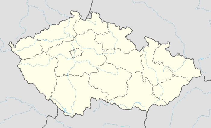
Záhornice is a village and municipality in Nymburk District in the Central Bohemian Region of the Czech Republic. It is located 19 kilometres (12 mi) east of Nymburk and 64 kilometres (40 mi) east of Prague.
Záhornice | |
|---|---|
Municipality and village | |
 Saint Matthew Church | |
 Flag  Coat of arms | |
 Záhornice Location in the Czech Republic | |
| Coordinates: 50°14′51″N 15°16′51″E | |
| Country | |
| Region | Central Bohemian Region |
| District | Nymburk District |
| Area | |
| • Total | 6.59 sq mi (17.06 km2) |
| Elevation | 692 ft (211 m) |
| Population (2011) | |
| • Total | 362 |
| • Density | 55/sq mi (21/km2) |
| Time zone | UTC+1 (CET) |
| • Summer (DST) | UTC+2 (CEST) |
The municipality covers an area of 17.06 square kilometres (6.59 sq mi) and as of 2011 it had a population of 362. First written notice about the village is from year 1225.
Gallery
 Restaurant
 Main street
 Local part Poušť
gollark: Citrons is probably dialling in via ApioTelephone™ from the wiki encyclopaedia discord server.
gollark: This is bridged to, for example, IRC.
gollark: [REDACTED]
gollark: So are you enjoying APIONET?
gollark: Where are you anyway?
References
- This article was initially translated from the Czech Wikipedia.
| Wikimedia Commons has media related to Záhornice. |
This article is issued from Wikipedia. The text is licensed under Creative Commons - Attribution - Sharealike. Additional terms may apply for the media files.