Yanahuanca District
Yanahuanca District is one of eight districts of the Daniel Alcides Carrión Province in the mountains of central Peru.[1]
Yanahuanca Yanawanka | |
|---|---|
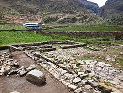
 Warmiwasi, part of the archaeological site of Warawtampu in the Yanahuanca District | |
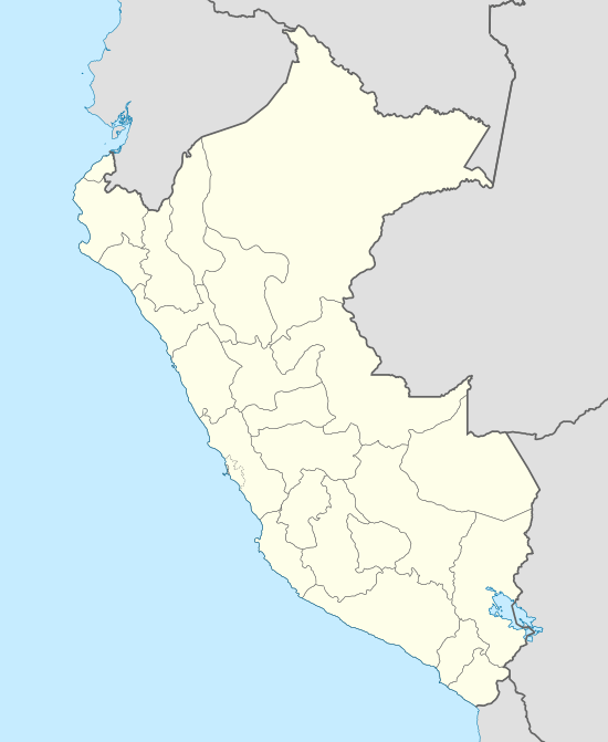
 Yanahuanca Location within Peru | |
| Coordinates: 10°29′29″S 76°30′49″W | |
| Country | |
| Region | Pasco |
| Province | Daniel Alcides Carrión |
| Capital | Yanahuanca |
| Government | |
| • Mayor | Juan Luis Chombo Heredia (2019-2022) |
| Area | |
| • Total | 923.48 km2 (356.56 sq mi) |
| Elevation | 3,184 m (10,446 ft) |
| Population (2017) | |
| • Total | 11,333 |
| • Density | 12/km2 (32/sq mi) |
| Time zone | UTC-5 (PET) |
| Geocode | 190201 |
Geography
The Rawra mountain range traverses the district. Some of the highest mountains of the district are listed below:[2]
- Ana Maray
- Atalaya
- Chakraqucha
- Challwayuq
- Chunta
- Ch'uspi
- Hanka Pata
- Hatun Punta
- Iskuqucha
- Kiswar
- Kunkayuq
- Kushurupata
- Paqush
- Parya Chuku
- Puka Mach'ay
- Puma Ratashqa
- Pumaqucha
- Punta Ch'aqra
- Puywanqucha
- Phiruru
- Qullpapata
- Qutuq
- Qhuna Pirwa
- Q'illay Hanka
- Racha Kancha
- Rat'a Thapa
- Ruphaq
- Saqra Mach'ay
- Tuku Mach'ay
- Turi Hanka
- Wacha
- Wanchaq
- Warmi Wañusqa
- Waswa Qaqa
- Yana Chaka
- Yana Uqhu
- Yanta Hirka
gollark: They're big networks which are trained to detect patterns, sometimes very deep ones, in large amounts of data.
gollark: Current AI stuff doesn't have "minds" comparable to that of humans.
gollark: They don't really "think", or at least they don't really do goal-oriented behavior.
gollark: Well, skin isn't a very good thermal conductor, so you would probably have to pump blood into and out of your hand too.
gollark: Programmers are expensive. Compute time is cheap. If they could write reasonably usable code automatically, they could outcompete everyone else.
See also
References
- (in Spanish) Instituto Nacional de Estadística e Informática. Banco de Información Distrital. Retrieved April 11, 2008.
- escale.minedu.gob.pe - UGEL map of the Daniel Alcides Carrión Province (Huánuco Region)
This article is issued from Wikipedia. The text is licensed under Creative Commons - Attribution - Sharealike. Additional terms may apply for the media files.