Worton, Wiltshire
Worton is a village and civil parish about 3 miles (5 km) southwest of Devizes in Wiltshire. It is near the northern edge of Salisbury Plain in central southern England.
| Worton | |
|---|---|
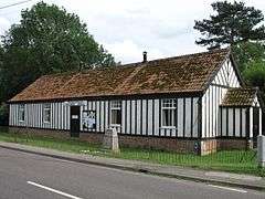
 Village hall of Worton and Marston | |
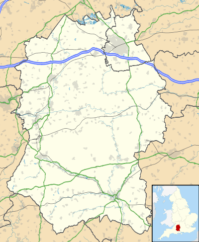
 Worton Location within Wiltshire | |
| Population | 624 (in 2011)[1] |
| OS grid reference | ST975574 |
| Civil parish |
|
| Unitary authority | |
| Ceremonial county | |
| Region | |
| Country | England |
| Sovereign state | United Kingdom |
| Post town | Devizes |
| Postcode district | SN10 |
| Dialling code | 01380 |
| Police | Wiltshire |
| Fire | Dorset and Wiltshire |
| Ambulance | South Western |
| UK Parliament | |
| Website | Parish Council |
History
The first recorded mention of Worton was in a document of 1173.[2]
Worton (and neighbouring Marston) were tithings of Potterne parish. In 1852, after Christ Church at Worton was consecrated, the tithings became a chapelry of Potterne.[3] Worton and Marston later became separate civil parishes, formalised in 1894.[4]
Geography
The Bulkington Brook forms the southwestern boundary of the parish. The village is elongated, set around its High Street. The hamlet of Cuckold's Green is at the east end of Worton village.
Marston lies just to the south, and Potterne to the east, where the A360 road passes.[5]
Religious sites
.jpg)
Christ Church, the Church of England parish church, was built in 1841 to designs of T.H. Wyatt to serve both Worton and Marston. The building is Grade II listed.[6][7] The benefice was united with Poulshot in 1931[8] and today the parish is part of the Wellsprings Benefice, which also covers Potterne, Bulkington and Seend.[9]
There is a small Methodist chapel at Marston.[10] Worton had a larger chapel, built in 1849 to replace an earlier chapel; it closed in the 1990s.[11]
Amenities
The village hall serves Worton and Marston.[12] Worton has a pub, the Rose and Crown, which is a Grade II listed 17th-century building.[13]
Five Lanes Primary School has two sites, with younger children at Potterne and older children at Worton.[14] The school at Worton was built in 1965 and replaced a school which began as a Sunday school in 1844.[15]
References
- "Wiltshire Community History - Census". Wiltshire Council. Retrieved 11 August 2015.
- "Worton". Wiltshire Community History. Wiltshire Council. Retrieved 11 August 2015.
- "No. 21329". The London Gazette. 18 June 1852. p. 1711.
- "Victoria County History - Wiltshire - Vol 7 pp207-217 - Parishes: Potterne". British History Online. University of London. Retrieved 11 August 2015.
- Google (4 September 2016). "Worton, Wiltshire" (Map). Google Maps. Google. Retrieved 4 September 2016.
- Historic England. "Christ Church, Worton (1243969)". National Heritage List for England. Retrieved 11 August 2015.
- "Christ Church, Worton". Wiltshire Community History. Wiltshire Council. Retrieved 11 August 2015.
- "No. 33720". The London Gazette. 29 May 1931. pp. 3469–3471.
- "Christ Church Worton". www.christchurchworton.org.uk. Retrieved 7 December 2018.
- "Marston Methodist Chapel". Retrieved 11 August 2015.
- "Wesleyan Methodist Chapel, Worton". Wiltshire Community History. Wiltshire Council. Retrieved 11 August 2015.
- "Worton & Marston village hall". Retrieved 11 August 2015.
- Historic England. "The Rose and Crown Inn, Worton (1243971)". National Heritage List for England. Retrieved 11 August 2015.
- "Five Lanes CE VC Primary School". Retrieved 11 August 2015.
- "Worton & Marston Primary School". Wiltshire Community History. Wiltshire Council. Retrieved 11 August 2015.
External links
![]()