Wildcat Mountain (Missouri)
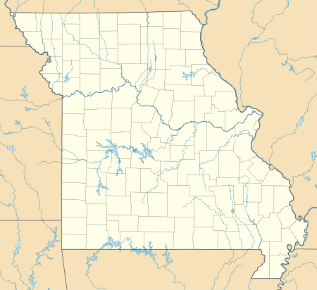
Wildcat Mountain is a summit in Iron County, Missouri, located 1.4 miles (2.3 km) west of Taum Sauk Mountain, Missouri's highest peak. Wildcat Mountain's summit elevation is only about two feet less than that of Taum Sauk Mountain.
| Wildcat Mountain | |
|---|---|
 Wildcat Mountain | |
| Highest point | |
| Elevation | 1760+ ft (536+ m) NGVD 29[1] |
| Coordinates | 37°34′05″N 90°45′16″W [2] |
| Geography | |
| Location | Iron County, Missouri |
| Parent range | Saint Francois Mountains |
| Topo map | USGS Johnson Shut-Ins |
Wildcat Mountain was named for the wildcats in the area.[3]
Notes
- "Wildcat Mountain, Missouri". Peakbagger.com. Retrieved June 8, 2012.
- "Wildcat Mountain". Geographic Names Information System. United States Geological Survey. Retrieved June 8, 2012.
- "Iron County Place Names, 1928–1945 (archived)". The State Historical Society of Missouri. Retrieved 12 October 2016.
gollark: Why delete files? Storage is 2p/GB nowadays, roughly.
gollark: `if (x==0 && y==0)`, assuming you're using something C-like.
gollark: So I checked further, and it seems that most of them use non-SIMD instruction sets but also run threads in groups so it's effectively SIMD anyway.I'm probably missing something but I don't see why you would do that.
gollark: As far as I know recent designs have moved away from that, and probably just magically schedule threads really well.
gollark: I don't know many of the underlying implementation details.
This article is issued from Wikipedia. The text is licensed under Creative Commons - Attribution - Sharealike. Additional terms may apply for the media files.