White Eagle, Oklahoma
White Eagle is an unincorporated community in Kay County, Oklahoma, United States.
White Eagle, Oklahoma | |
|---|---|
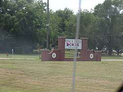 Ponca Tribe Sign in White Eagle | |
 White Eagle  White Eagle | |
| Coordinates: 36°36′30″N 97°04′34″W | |
| Country | United States |
| State | Oklahoma |
| County | Kay |
| Elevation | 948 ft (289 m) |
| Time zone | UTC-6 (Central (CST)) |
| • Summer (DST) | UTC-5 (CDT) |
| Area code(s) | 580 |
White Eagle was named for the Ponca principal chief, White Eagle (ca. 1840-1914), who led the Ponca to their reservation in Indian Territory.[2] Other names for the town are Ponca, White Eagle Agency, and Whiteagle.[1]
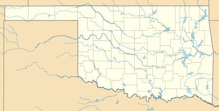
Geography
White Eagle is located in southeastern Kay County just east of the Salt Fork and approximately one and one quarter mile west-northwest of the confluence of the Salt Fork with the Arkansas River. The community is on U.S. Route 177 five miles south of Ponca City.[3]
Politics
White Eagle is the headquarters for the Ponca Tribe of Indians of Oklahoma.[4]
Notable residents
- Paladine Roye, Ponca painter, 1946-2001
gollark: Experience 22 welcomes/m⁴.
gollark: WKOWOEkockoejemameaopsmelme!
gollark: I am axiomatically correct.
gollark: Too bad.
gollark: <@322724805201756181> UTTERLY RTS/CTS yourself.
References
- U.S. Geological Survey Geographic Names Information System: White Eagle, Oklahoma
- Johansen, Bruce E. White Eagle. Oklahoma Historical Society's Encyclopedia of Oklahoma History & Culture. 2009 (15 August 2009)
- Ponca City SE, OK, 7.5 Minute Topographic Quadrangle, USGS, 1968
- Van de Logt, Mark. Ponca. Oklahoma Historical Society's Encyclopedia of Oklahoma History & Culture. 2009 (15 August 2009)
Municipalities and communities of Kay County, Oklahoma, United States | ||
|---|---|---|
| Cities | 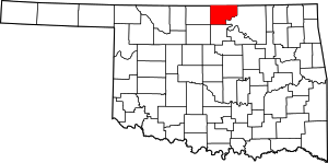 Kay County map | |
| Towns | ||
| CDP | ||
| Unincorporated communities | ||
| Ghost towns | ||
| Authority control |
|
|---|
This article is issued from Wikipedia. The text is licensed under Creative Commons - Attribution - Sharealike. Additional terms may apply for the media files.