Westlake, Alberta
Westlake is an unincorporated urban community within the County of Grande Prairie No. 1 in northwest Alberta, Canada that is designated a population centre for statistical purposes in the Canadian census.[2] The community is located within the Hamlet of Clairmont and adjacent to the City of Grande Prairie to the south. Westlake is bound by Highway 43 to the east, Highway 43X to the north, Range Road 62 to the west and 140 Avenue to the south.[2]
Westlake | |
|---|---|
Unincorporated community (Population centre) | |
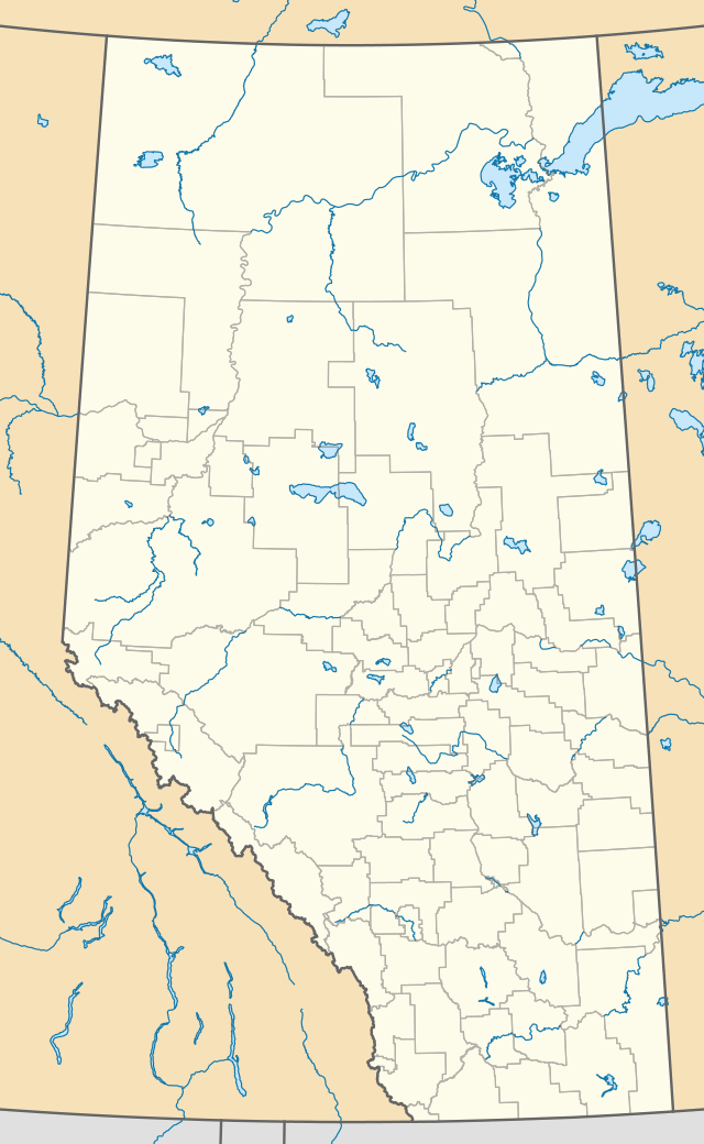
 Location of Westlake in Alberta | |
| Coordinates: 55.218°N 118.808°W | |
| Country | |
| Province | |
| Census division | No. 19 |
| Municipal district | County of Grande Prairie No. 1 |
| Government | |
| • Type | Unincorporated |
| • Reeve | Leanne Beaupre |
| • Governing body | County of Grande Prairie No. 1 Council
|
| Area (2016)[1] | |
| • Land | 3.27 km2 (1.26 sq mi) |
| Population (2016)[1] | |
| • Total | 1,363 |
| Time zone | UTC-7 (MST) |
Demographics
In the 2016 Census of Population conducted by Statistics Canada, Westlake recorded a population of 1,363 living in 440 of its 470 total private dwellings, a 265.4% change from its 2011 population of 373. With a land area of 3.27 km2 (1.26 sq mi), it had a population density of 416.8/km2 (1,079.6/sq mi) in 2016.[1]
References
- "Population and dwelling counts, for Canada, provinces and territories, and population centres, 2016 and 2011 censuses – 100% data (Alberta)". Statistics Canada. February 8, 2017. Retrieved February 12, 2017.
- Population Centre: 1554 Alberta (Westlake) (PDF) (Map). Statistics Canada. Retrieved February 12, 2017.