Weilerskopf
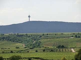
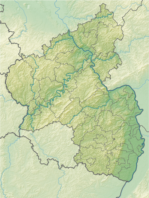
The Weilerskopf is a hill, 470 metres high, in a wooded exclave of Herxheim am Berg northwest of the German town of Bad Dürkheim. Its summit is the site of a transmission tower owned by Deutsche Telekom.
| Weilerskopf | |
|---|---|
 | |
| Highest point | |
| Elevation | 470 m above sea level (NN) (1,540 ft) |
| Coordinates | 49°29′26″N 8°07′31″E |
| Geography | |
 Weilerskopf | |
| Parent range | Haardt |
Transmission tower
The Weilerskopf transmission tower is a standard telecommunications tower, or Typenturm, built in 1969.
Gebetsfelsen
The Gebetsfelsen is a rock formation on the Weilerskopf. It is a 7-metre-long, 4-metre-wide and only 1.4-metre-high monolith made of sandstone. Twelve steps have been cut into the sandstone, probably in Roman times. A Roman quarry is located in the vicinity of the Gebetsfelsen.[1]
Sources
gollark: Oh. That's a bit of a problem.
gollark: 17 rads/t (I checked, it's not per second) is okay, right?
gollark: ... how many rad/s is bad?
gollark: Also, anyone know where the flowchart for fuel progression is?
gollark: Well, they are programming, just... *special* programming.
This article is issued from Wikipedia. The text is licensed under Creative Commons - Attribution - Sharealike. Additional terms may apply for the media files.