Washington State Route 282
State Route 282 (SR 282) is a 4.92-mile-long (7.92 km) state highway in the U.S. state of Washington, serving Grant County. The highway travels southeast from SR 28 in Ephrata to Ephrata Municipal Airport and an intersection with SR 17. Prior to its establishment during the 1964 highway renumbering, SR 282 was a branch of Secondary State Highway 11G (SSH 11G).
| ||||
|---|---|---|---|---|
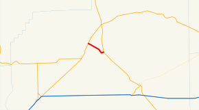 SR 282 is highlighted in red. | ||||
| Route information | ||||
| Auxiliary route of SR 28 | ||||
| Defined by RCW 47.17.510 | ||||
| Maintained by WSDOT | ||||
| Length | 4.92 mi[1] (7.92 km) | |||
| Existed | 1964[2]–present | |||
| Major junctions | ||||
| West end | ||||
| East end | ||||
| Location | ||||
| Counties | Grant | |||
| Highway system | ||||
| ||||

Route description
SR 282 begins at an intersection with Basin Street, signed as SR 28, located within the city of Ephrata in Grant County.[3] The highway travels southeast over a BNSF rail line south of Amtrak Station before leaving Ephrata and passing Ephrata Municipal Airport.[4][5][6] SR 282 continues southeast and ends at SR 17 southeast of Ephrata as SR 17 turns southeast towards Moses Lake.[7]
Every year, the Washington State Department of Transportation (WSDOT) conducts a series of surveys on its highways in the state to measure traffic volume. This is expressed in terms of annual average daily traffic (AADT), which is a measure of traffic volume for any average day of the year. In 2011, WSDOT calculated that between 6,400 and 8,000 vehicles per day used the highway as a shortcut between Ephrata and Moses Lake.[8]
History
SR 282 was established during the 1964 highway renumbering as the successor to a branch route of SSH 11G connecting the main highway to Ephrata, established in 1951.[9][10] After being codified in 1970,[2][11] SR 282 was built and opened to traffic. The highway was repaved in fall 2009 as part of the American Recovery and Reinvestment Act.[12][13]
Major intersections
The entire highway is in Grant County.
| Location | mi[1] | km | Destinations | Notes | |
|---|---|---|---|---|---|
| Ephrata | 0.00 | 0.00 | Western terminus | ||
| | 4.92 | 7.92 | Eastern terminus | ||
| 1.000 mi = 1.609 km; 1.000 km = 0.621 mi | |||||
References
- Staff (2012), State Highway Log: Planning Report 2011, SR 2 to SR 971 (PDF), Washington State Department of Transportation, pp. 1317–1318, retrieved February 4, 2013
- "47.17.510: State route No. 282", Revised Code of Washington, Washington State Legislature, 1970, retrieved February 4, 2013
- "Feature Detail Report for: Ephrata", Geographic Names Information System, United States Geological Survey, September 10, 1979, retrieved February 4, 2013
- 2011 Washington State Rail System (PDF) (Map). Washington State Department of Transportation. January 2012. Retrieved February 4, 2013.
- Passenger Rail System - Washington State (PDF) (Map). Washington State Department of Transportation. January 2012. Retrieved February 4, 2013.
- "Feature Detail Report for: Ephrata Municipal Airport", Geographic Names Information System, United States Geological Survey, March 1, 1990, retrieved February 4, 2013
- Google (February 4, 2013). "State Route 282" (Map). Google Maps. Google. Retrieved February 4, 2013.
- Staff (2011), 2011 Annual Traffic Report (PDF), Washington State Department of Transportation, p. 166, retrieved February 4, 2013
- Prahl, C. G. (December 1, 1965), Identification of State Highways (PDF), Washington State Highway Commission, Department of Highways, retrieved February 4, 2013
- Washington State Legislature (1951), "Chapter 273", Session Laws of the State of Washington, Session Laws of the State of Washington (1951 ed.), Olympia, Washington: Washington State Legislature,
Secondary state highway No. 11G; beginning in the vicinity of Eltopia on primary state highway No. 11, thence in a northwesterly direction to a junction with primary state highway No. 18 in the vicinity of Moses Lake, thence northwesterly to a junction with primary state highway No. 7 in the vicinity of Soap Lake with a wye connection from the vicinity of Rocky Ford creek to the vicinity of Ephrata.
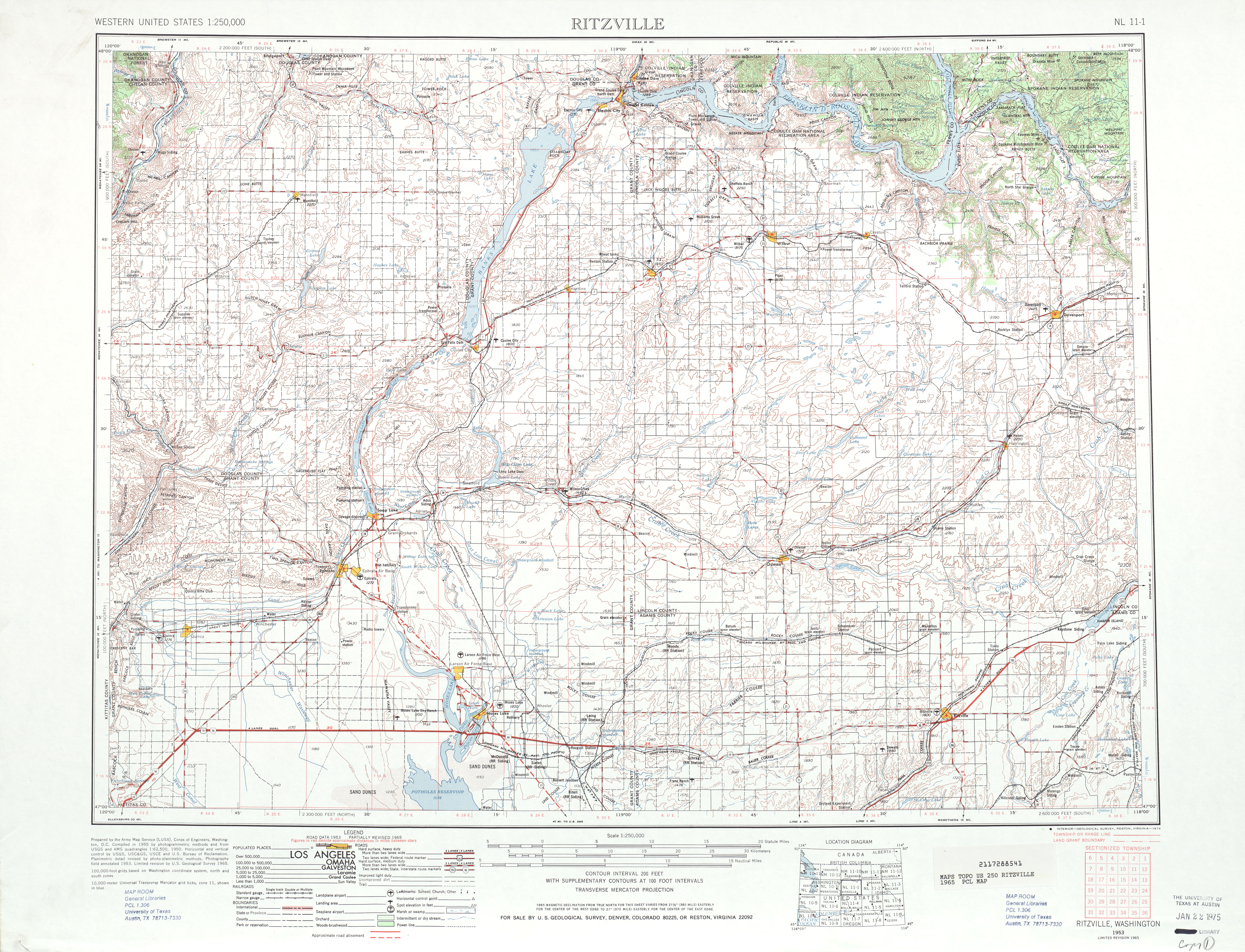
- Ritzville, 1965 (JPG) (Map). 1:250,000. United States Geological Survey. 1965. Retrieved February 4, 2013.
- Pierson, Eric (November 2009), SR 282 - Ephrata South Paving - Complete November 2009, Washington State Department of Transportation, retrieved February 4, 2013
- "SR 17, SR 282 stimulus project ribbon cutting set for October 22 near Moses Lake", Recovery.gov, October 20, 2009, retrieved February 4, 2013