Vorobyovo, Sokolsky District, Vologda Oblast
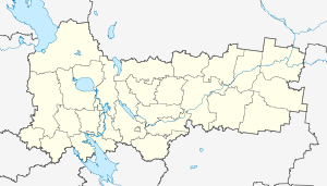
Vorobyovo (Russian: Воробьёво) is a rural locality (a village) and the administrative center of Vorobyovskoye Rural Settlement, Sokolsky District, Vologda Oblast, Russia. The population was 673 as of 2002.[2] There are 4 streets.
Vorobyovo Воробьёво | |
|---|---|
Village | |
 Vorobyovo  Vorobyovo | |
| Coordinates: 59°37′N 40°53′E[1] | |
| Country | Russia |
| Region | Vologda Oblast |
| District | Sokolsky District |
| Time zone | UTC+3:00 |
Geography
The distance to Sokol is 56 km. Lubodino is the nearest rural locality.
gollark: Basically, yes.
gollark: SPUDNET in potatOS uses Polychoron for this.
gollark: You need to manage the coroutines yourself or use some library for it like Raisin.
gollark: @YanZatulsky1#4191 Yes, how dare people not agree with anything you say because "it's an opinion".
gollark: > using quotes
References
- Карта Сокольского района Вологодской области
- Данные переписи 2002 года: таблица 2С. М.: Федеральная служба государственной статистики, 2004.
This article is issued from Wikipedia. The text is licensed under Creative Commons - Attribution - Sharealike. Additional terms may apply for the media files.