Vodňany
Vodňany (Czech pronunciation: [ˈvodɲanɪ]; German: Wodnian) is a town in the South Bohemian Region of the Czech Republic. It has around 7,000 inhabitants.
Vodňany | |
|---|---|
Town | |
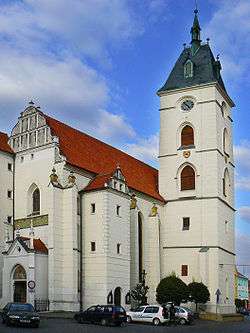 Church of the Nativity of the Virgin Mary | |
 Flag 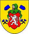 Coat of arms | |
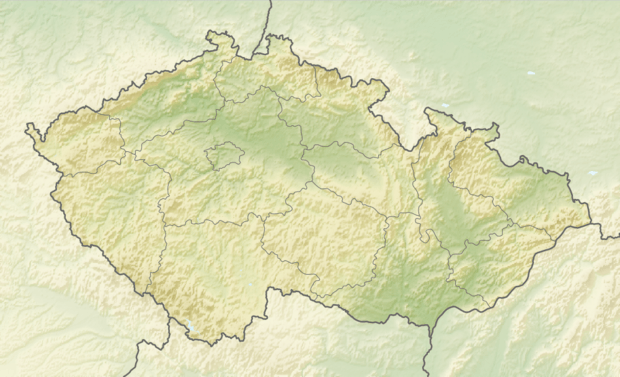 Vodňany Location in the Czech Republic | |
| Coordinates: 49°8′52″N 14°10′32″E | |
| Country | Czech Republic |
| Region | South Bohemia |
| District | Strakonice |
| Documented | 1336 |
| Government | |
| • Mayor | Milan Němeček |
| Area | |
| • Total | 36.36 km2 (14.04 sq mi) |
| Elevation | 398 m (1,306 ft) |
| Population (2019-01-01[1]) | |
| • Total | 6,953 |
| • Density | 190/km2 (500/sq mi) |
| Time zone | UTC+1 (CET) |
| • Summer (DST) | UTC+2 (CEST) |
| Website | www.vodnany.eu |
Administrative parts of Vodňany are: Čavyně, Hvožďany, Křtětice, Pražák, Radčice, Újezd, Vodňanské Svobodné Hory, Vodňany I and Vodňany II.
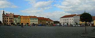
Freedom Square in Vodňany
Notable people
- Jan Campanus Vodňanský, Czech writer
- Váša Příhoda, Czech violinist
Twin towns — sister cities
Vodňany is twinned with:[2]

gollark: Broke it how?
gollark: Wait, can we have War, Pestilence and Death too?
gollark: ÅAAAAAAAAAAAAAAAAAAAAAAAAAAAAAAA
gollark: <@!112633269010300928> I wasn't actually on at the time.
gollark: Is the server down?
References
- "Population of municipalities of the Czech republic". Czech Statistical Office. Retrieved 2019-04-30.
- "Partnerská města" (in Czech). Město Vodňany. Retrieved 2019-08-27.
This article is issued from Wikipedia. The text is licensed under Creative Commons - Attribution - Sharealike. Additional terms may apply for the media files.