Villa del Rosario, Norte de Santander
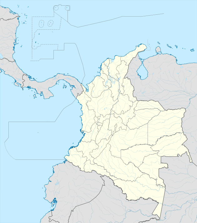
Villa del Rosario is a Colombian municipality and town located in the eastern part of North Santander department. It is part of the Metropolitan Area of Cúcuta.[2] The municipality is bordered to the north by Venezuela and the municipality of Cúcuta, to the south by the municipalities of Ragonvalia and Chinácota, to the east by Venezuela and to the west by the municipality of Los Patios.
Villa del Rosario | |
|---|---|
town | |
 | |
.svg.png) Flag | |
 Location of the municipality and town of Labateca in the Norte de Santander Department. Municipality in dark gray, town in red. | |
 Villa del Rosario Location of the municipality and town of Labateca in the Norte de Santander Department. Municipality in dark gray, town in red. | |
| Coordinates: 7°50′02″N 72°28′27″W | |
| Country | Colombia |
| Department | Norte de Santander* |
| Foundation | 1761 |
| Government | |
| • Mayor | Simon Bolivar |
| Area | |
| • town | 228 km2 (88 sq mi) |
| Elevation | 440 m (1,440 ft) |
| Population (2012)[1] | |
| • town | 80,497 |
| • Metro | 742,689 |
| Demonym(s) | Rosariense |
| Time zone | UTC-5 |
| Area code(s) | 57 + 7 |
| Website | Official website (in Spanish) |
Basic information
- Founder: Ascencia Rodríguez de Morales y José Díaz de Austudillo.
- Population: 65,337
- Elevation: 320 m above sea-level
- Area: 228 km²
- Climate: 26 °C
- Distance to Cúcuta: 4 km
- Coordinates: 72° 28' O / 7° 50' N
- Rivers: Táchira River.
History
Historians agree that the founder was Don Asencio Rodriguez in 1750.
Around 1760 several farms were established in the area now known as "the Old Rosary". Some of the most important residents in the valleys held a meeting on 15 July 1771 with the intention of formalising the creation of the parish. They petitioned the Spanish monarch Carlos IV, to be granted the title of Villa for the settlement.
Consequently, on 18 May 1792, the title of "Noble, Leal y Valerosa Villa" was granted by Royal Warrant to the parish of Our Lady of the Rosary. Villa del Rosario contributed many great men, most notably General Francisco de Paula Santander, famous as a soldier and legislator, whose achievements in the Revolution and the formation of the Republic made him prominent in public administration and the founding of Colombia's particular form of democracy.
Economy
- Agriculture: Sugar, coffee, rice, cane, banana, tobacco, vegetables and fruit trees.
- Cattle: Bovine, bovine and poultries.
- Mining: Coal, clay, plaster and limestone stone.
Tourist sites
- House of Santander
- Historical tamarind
- Park of the Great Colombia
Climate
This area typically has a pronounced dry season. According to the Köppen Climate Classification system, Villa del Rosario has a tropical savanna climate, abbreviated "Aw" on climate maps.[3]
References
- "Official website". Archived from the original on 17 February 2013.
- Metropolitan Area of Cúcuta. "Villa del Rosario". Archived from the original on 27 September 2007. Retrieved 11 February 2007.
- Climate Summary for Villa del Rosario, Norte de Santander