Vermilion River (Lac Seul)
The Vermilion River is a river in the Hudson Bay drainage basin in Kenora District in Northwestern Ontario, Canada. The river begins at Highstone Lake and reaches its mouth at Brechin Bay on Lac Seul, about 35 kilometres (22 mi) north of the town of Sioux Lookout, which flows via the English River, Winnipeg River and Nelson River to Hudson Bay.
| Vermilion River | |
|---|---|
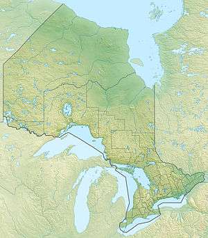 Location of the mouth of the Vermilion River in Ontario | |
| Location | |
| Country | Canada |
| Province | Ontario |
| Region | Northwestern Ontario |
| District | Kenora |
| Physical characteristics | |
| Source | Highstone Lake |
| • coordinates | 50°23′38″N 91°32′27″W |
| • elevation | 366 m (1,201 ft) |
| Mouth | Lac Seul |
• coordinates | 50°25′05″N 91°50′11″W |
• elevation | 357 m (1,171 ft) |
| Length | 30 km (19 mi) |
| Basin features | |
| River system | Hudson Bay drainage basin |
Tributaries
- Tully Creek (right)
- Bump Creek (left)
- Sigurd Creek (right)
- Per Creek (left)
gollark: And then they proceed to implicitly compare things anyway.
gollark: People really love saying that you can't compare things when you probably should be able to.
gollark: If you can't compare a computer with another computer, your comparison is bad.
gollark: But why purchase this "iMac" when far superior products exist for less cashmoney?
gollark: > MacOS
See also
References
- "Vermilion River". Geographical Names Data Base. Natural Resources Canada. Retrieved 2011-03-05.
- "Vermilion River". Atlas of Canada. Natural Resources Canada. 2010-02-04. Retrieved 2011-03-05.
This article is issued from Wikipedia. The text is licensed under Creative Commons - Attribution - Sharealike. Additional terms may apply for the media files.