Verkhnyaya Kema
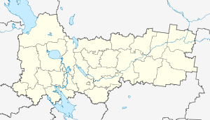
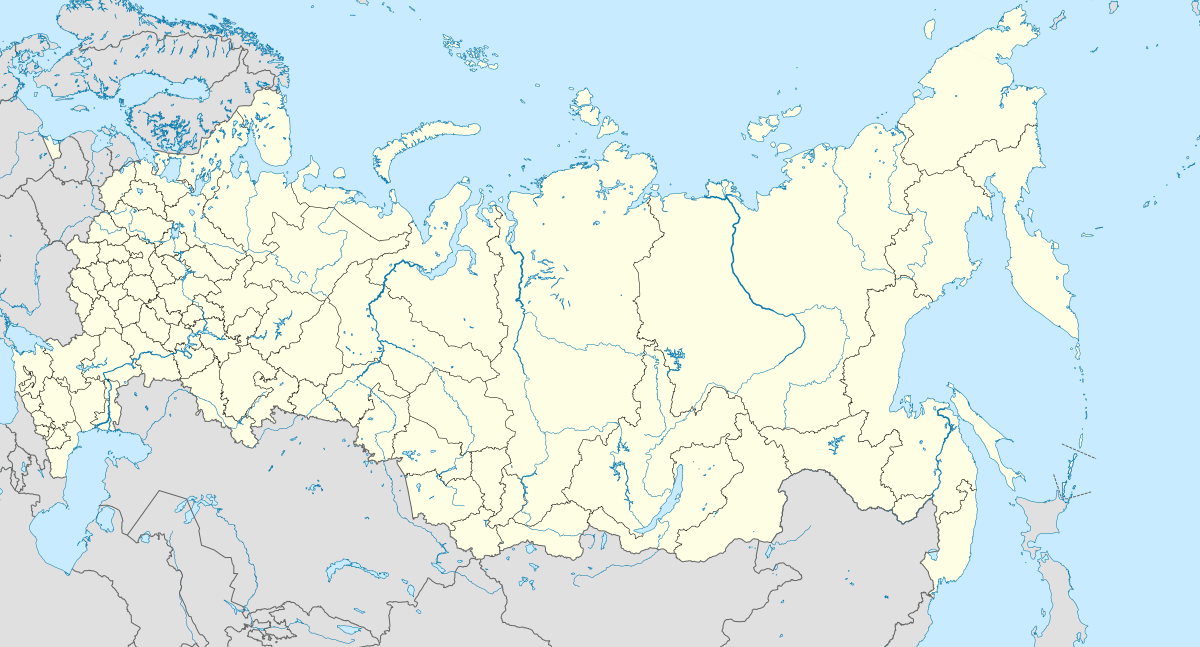
Verkhnyaya Kema (Russian: Верхняя Кема) is a rural locality (a settlement) in Kemskoye Rural Settlement, Nikolsky District, Vologda Oblast, Russia. The population was 50 as of 2002.[2] There are 15 streets.
Verkhnyaya Kema Верхняя Кема | |
|---|---|
Selo | |
 Verkhnyaya Kema  Verkhnyaya Kema | |
| Coordinates: 59°36′N 44°41′E[1] | |
| Country | Russia |
| Region | Vologda Oblast |
| District | Nikolsky District |
| Time zone | UTC+3:00 |
Geography
The distance to Nikolsk is 62.5 km, to Borok is 12.5 km. Paderino is the nearest rural locality.
gollark: We should try this with the limited GPT-2 some time.
gollark: I can't actually update it now, as my computer's GPU is dead.
gollark: Communism:Can't misallocate resources you don't have! *tap head*
gollark: Stolen from the philosophy memes subreddit.
gollark: https://generated.inspirobot.me/a/qjepYdZMJn.jpg
References
- Карта Никольского района Вологодской области
- Данные переписи 2002 года: таблица 2С. М.: Федеральная служба государственной статистики, 2004.
This article is issued from Wikipedia. The text is licensed under Creative Commons - Attribution - Sharealike. Additional terms may apply for the media files.