Tunnel, Tasmania
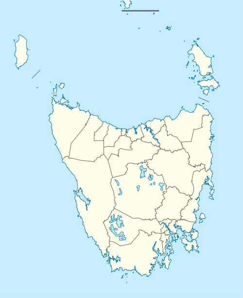
Tunnel is a rural locality in the local government area of Launceston, in the Northern region of Tasmania. It is located about 36 kilometres (22 mi) north of the city of Launceston. The 2016 census determined a population of 73 for the state suburb of Tunnel.
| Tunnel Tasmania | |||||||||||||||
|---|---|---|---|---|---|---|---|---|---|---|---|---|---|---|---|
 Tunnel | |||||||||||||||
| Coordinates | 41°11′39″S 147°10′32″E | ||||||||||||||
| Population | 73 (2016)[1] | ||||||||||||||
| Postcode(s) | 7254 | ||||||||||||||
| Location | 36 km (22 mi) N of Launceston | ||||||||||||||
| LGA(s) | Launceston | ||||||||||||||
| Region | Northern Tasmania | ||||||||||||||
| State electorate(s) | Bass | ||||||||||||||
| Federal Division(s) | Bass | ||||||||||||||
| |||||||||||||||
History
The locality was originally known as Cambanora for postal purposes.[2] A railway tunnel through a range in the area was completed in 1889, and a nearby station was named "Tunnel". The locality was named Tunnel after the station.[3]
Road infrastructure
Route C820 route (The Paling Track / Bacala Road / Tunnel Road) enters from the south and exits to the east. The C821 route (an extension of Bacala Road) starts at an intersection with C820 near the southern boundary and exits to the south-east.[4]
gollark: It's not my website.
gollark: Yees.
gollark: Please join the secret ILIE channel.
gollark: ```If the test evaluated you as this you are probably an ILIE or ILUE (and covering it well) or a SCUG or SCUE (and not safe to be typing on anything electrical).```
gollark: Or you.
References
- "2016 Census Quick Stats Tunnel (Tas.)". quickstats.censusdata.abs.gov.au. Australian Bureau of Statistics. 23 October 2017. Retrieved 18 May 2020.
- "Placenames Tasmania – Tunnel". Placenames Tasmania. Retrieved 18 May 2020.
Search, enter 442C, Search, select row, show Details
- "Historic railway tunnel at Tunnel". The Examiner. 8 April 2017. Retrieved 22 May 2020.
- "Tasmanian Road Route Codes" (PDF). Department of Primary Industries, Parks, Water & Environment. May 2017. Archived from the original (PDF) on 1 August 2017. Retrieved 18 May 2020.
This article is issued from Wikipedia. The text is licensed under Creative Commons - Attribution - Sharealike. Additional terms may apply for the media files.