Tuineje
Tuineje is a town and a municipality in the southern part of the island of Fuerteventura in the Province of Las Palmas, Canary Islands, Spain. The population is 13,946 (2013),[3] and the area is 275.94 km².[1] The largest town in the municipality is Gran Tarajal, on the south coast.
Tuineje | |
|---|---|
Municipality | |
 Flag 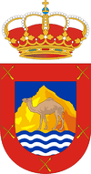 Coat of arms | |
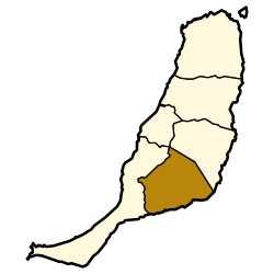 Municipal location in Fuerteventura | |
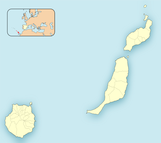 Tuineje Location in the province of Las Palmas 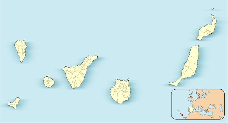 Tuineje Tuineje (Canary Islands)  Tuineje Tuineje (Spain, Canary Islands) | |
| Coordinates: 28°19′30″N 14°2′55″W | |
| Country | |
| Autonomous Community | |
| Province | Las Palmas |
| Island | Fuerteventura |
| Government | |
| • Mayor | Salvador Delgado (CC) |
| Area | |
| • Total | 275.94 km2 (106.54 sq mi) |
| Elevation (AMSL) | 205 m (673 ft) |
| Population (2018)[2] | |
| • Total | 14,791 |
| • Density | 54/km2 (140/sq mi) |
| Time zone | UTC+0 (CET) |
| • Summer (DST) | UTC+1 (CEST (GMT +1)) |
| Postal code | 35629 |
| Area code(s) | +34 (Spain) + 928 (Las Palmas) |
| Website | www.tuineje.es |
History
Tuineje was the site of the two battles with an English privateer and the ship Grand Tarajal in 1740.
Gallery
 Tuineje village
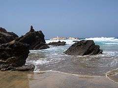 Tuineje
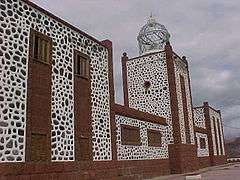 Lighthouse of La Entallada, Tuineje
gollark: The obvious solution is high-powered fans to counter incoming wind.
gollark: They have some empirical model of the decay of memories with disuse and it reminds you when it predicts you're close to forgetting them.
gollark: It's just flashcards with an algorithm™ to show you them at the correct time.
gollark: I mean, I can, but it would be nice to have.
gollark: Can't wait for automatic summarization via language models to be commonplace.
References
- Instituto Canario de Estadística, area
- Municipal Register of Spain 2018. National Statistics Institute.
- Instituto Canario de Estadística Archived 2014-04-19 at the Wayback Machine, population
This article is issued from Wikipedia. The text is licensed under Creative Commons - Attribution - Sharealike. Additional terms may apply for the media files.