Tsigereda
Tsigereda (Tigrinya: ጽገረዳ) is a town in Tigray, Ethiopia. Located in the Misraqawi (Eastern) Zone of the Tigray Region (or kilil), this town has a latitude and longitude of 13°46′N 39°21′E with an elevation of 1960 to 2050 meters above sea level. It is the second largest settlement in Wukro woreda, after Wukro itself.
Tsigereda ጽገረዳ | |
|---|---|
Town | |
 Flag | |
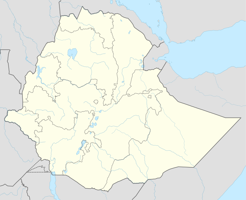 Tsigereda Location within Ethiopia | |
| Coordinates: 13°46′N 39°21′E | |
| Country | Ethiopia |
| Region | Tigray |
| Zone | Misraqawi (Eastern) |
| Woreda | Kilte Awulaelo |
| Elevation | 2,000 m (7,000 ft) |
| Time zone | UTC+3 (EAT) |
Geography
The tabia stretches down from the Arebay peaks in Dogu'a Tembien towards the headwaters of Agefet river.
Geology
From the higher to the lower locations, the following geological formations are present:[1]
- Antalo Limestone
- Quaternary alluvium and freshwater tufa[2]
Climate
The rainfall pattern shows a very high seasonality with 70 to 80% of the annual rain falling in July and August. Mean temperature in Tsigereda is 22 °C, oscillating between average daily minimum of 12.5 °C and maximum of 31 °C. The contrasts between day and night air temperatures are much larger than seasonal contrasts.[3]
Water availability
In this area with rains that last only for a couple of months per year, the main rivers (Agefet and Amblo) are not permanent. Reservoirs of different sizes allow harvesting runoff from the rainy season for further use in the dry season. There are traditional surface water harvesting ponds, particularly in places without permanent springs, called rahaya. In addition, horoyo, household ponds, recently constructed with variable success through campaigns.[4] The Ginda'i water reservoir was constructed northwest of the town of Tsigereda for agricultural purposes. It suffers from siltation.[5] Yet, the reservoir strongly contributes to greening the landscape, both through irrigation and seepage water.
Agriculture and livelihood
The population lives essentially from crop farming, supplemented with off-season work in nearby towns. The land is dominated by farmlands which are clearly demarcated and are cropped every year. Hence the agricultural system is a permanent upland farming system.[6] The farmers have adapted their cropping systems to the spatio-temporal variability in rainfall.[7]
History and culture
History
In Imperial times (before 1975), Tsigereda used to be the center of the Gere-alta woreda, part of the former Enderta province. This Gere-alta woreda consisted of the western part of the current Hawzen and Kilte Awulaelo districts.
Religion and churches
Most inhabitants are Orthodox Christians. Among others, the following churches are located in the tabia: Inda Gabir Amblo, Abune Aregawi and Kidist Maryam.
Tourism
Its mountainous nature and proximity to Mekelle makes the tabia fit for tourism, yet its potential is largely unexplored.[8]
A trekking route (trek T) links Tsigereda to Arebay and further on to Dogu’a Tembien, which is a hikers’ paradise'.[9] The track is not marked on the ground but can be followed using downloaded .GPX files.[10]
References
- Sembroni, A.; Molin, P.; Dramis, F. (2019). Regional geology of the Dogu'a Tembien massif. In: Geo-trekking in Ethiopia's Tropical Mountains - The Dogu'a Tembien District. SpringerNature. ISBN 978-3-030-04954-6.
- Moeyersons, J. and colleagues (2006). "Age and backfill/overfill stratigraphy of two tufa dams, Tigray Highlands, Ethiopia: Evidence for Late Pleistocene and Holocene wet conditions". Palaeogeography, Palaeoclimatology, Palaeoecology. 230 (1–2): 162–178. Bibcode:2006PPP...230..165M. doi:10.1016/j.palaeo.2005.07.013.
- Jacob, M. and colleagues (2019). Dogu'a Tembien's Tropical Mountain Climate. In: Geo-trekking in Ethiopia's Tropical Mountains - The Dogu'a Tembien District. SpringerNature. doi:10.1007/978-3-030-04955-3_3. ISBN 978-3-030-04954-6.
- Developers and farmers intertwining interventions: the case of rainwater harvesting and food-for-work in Degua Temben, Tigray, Ethiopia
- Nigussie Haregeweyn, and colleagues (2006). "Reservoirs in Tigray: characteristics and sediment deposition problems". Land Degradation and Development. 17: 211–230. doi:10.1002/ldr.698.
- Naudts, J (2002). Les Hautes Terres de Tembien, Tigré, Ethiopie; Résistance et limites d'une ancienne civilisation agraire; Conséquences sur la dégradation des terres [MSc dissertation]. CNEARC, Montpellier, France.
- Frankl, A. and colleagues (2013). "The effect of rainfall on spatio‐temporal variability in cropping systems and duration of crop cover in the Northern Ethiopian Highlands". Soil Use and Management. 29 (3): 374–383. doi:10.1111/sum.12041.
- Geo-trekking in Ethiopia's Tropical Mountains - The Dogu'a Tembien District. GeoGuide. SpringerNature. 2019. ISBN 978-3-030-04954-6.
- Nyssen, Jan (2019). Description of Trekking Routes in Dogu'a Tembien. GeoGuide. Springer-Nature. pp. 557–675. doi:10.1007/978-3-030-04955-3_38. ISBN 978-3-030-04954-6.
- "Public GPS traces tagged with nyssen-jacob-frankl".
Places adjacent to Tsigereda | ||||||||||
|---|---|---|---|---|---|---|---|---|---|---|
| ||||||||||