Towai
Towai (Māori: Tōwai) is a locality in the Northland Region of the North Island of New Zealand.[1] State Highway 1 passes just to the east. Kawakawa is 16 km northwest, and Whakapara is 17 km southeast.[2][3]
Towai | |
|---|---|
 Towai | |
| Coordinates: 35°29′40″S 174°7′54″E | |
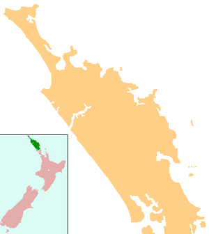
| Country | New Zealand |
| Region | Northland Region |
| District | Far North District |
Towai Primary School closed in January 2005, with students moving to Maromaku School.[4]
The local hapū is Ngāti Hau of Ngāpuhi.[5] The local Akerama Marae and Huiarau or Ruapekapeka meeting house is a meeting place for the hapū.[6]
References
- Towai at GEOnet Names Server
- Peter Dowling (editor) (2004). Reed New Zealand Atlas. Reed Books. pp. map 5. ISBN 0-7900-0952-8.CS1 maint: extra text: authors list (link)
- Roger Smith, GeographX (2005). The Geographic Atlas of New Zealand. Robbie Burton. pp. map 24. ISBN 1-877333-20-4.
- "Mergers, Closures and New Schools, January 2005 - December 2005" (XLS). Education Counts.
- "Te Kāhui Māngai directory". tkm.govt.nz. Te Puni Kōkiri.
- "Māori Maps". maorimaps.com. Te Potiki National Trust.
This article is issued from Wikipedia. The text is licensed under Creative Commons - Attribution - Sharealike. Additional terms may apply for the media files.