Tororo Airport
Tororo Airport (IATA: TRY, ICAO: HUTO) is an airport serving the town of Tororo in the Eastern Region of Uganda.
Tororo Airport | |||||||||||
|---|---|---|---|---|---|---|---|---|---|---|---|
| Summary | |||||||||||
| Airport type | Public | ||||||||||
| Owner/Operator | Civil Aviation Authority of Uganda | ||||||||||
| Serves | Tororo | ||||||||||
| Elevation AMSL | 3,900 ft / 1,189 m | ||||||||||
| Coordinates | 0°40′53″N 34°10′04″E | ||||||||||
| Map | |||||||||||
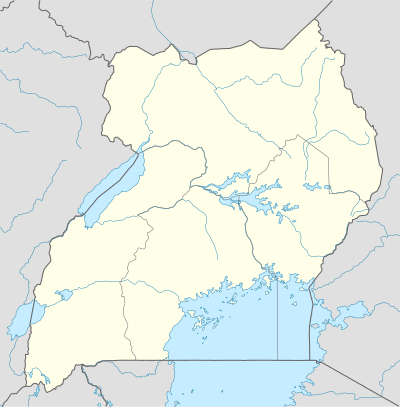 TRY Location of the airport in Uganda | |||||||||||
| Runways | |||||||||||
| |||||||||||
Location
The airport is about 3 kilometres (2 mi) by road south of the town centre.[1] This is about 249 kilometres (155 mi), by road, and 205 kilometres (127 mi), by air, north-east of Entebbe International Airport, the largest airport in Uganda.[2] The coordinates of this airport are 00°40'53.0"N, 34°10'04.0"E (Latitude:0.681389; Longitude:34.167778).[3]
Overview
The airport is at an average elevation of 3,900 feet (1,200 m) and has a single murram-surfaced runway (18/36), measuring 4,593 feet (1,400 m) long and 98 feet (30 m) wide.[4]
As of June 2015, the Civil Aviation Authority of Uganda had plans to develop this facility into a regional airport.[5]
See also


- List of airports in Uganda
- Transport in Uganda
References
- Globefeed.com (18 August 2016). "Distance between Municipal Gardens, Tororo, Eastern Region, Uganda and Tororo Airfield, Tororo, Eastern Region, Uganda". Globefeed.com. Retrieved 18 August 2016.
- Globefeed.com (18 August 2016). "Distance between Entebbe International Airport, Entebbe, Central Region, Uganda and Tororo Airfield, Tororo, Eastern Region, Uganda". Globefeed.com. Retrieved 18 August 2016.
- Google (18 August 2016). "Location of Tororo Airport, Tororo, Uganda" (Map). Google Maps. Google. Retrieved 18 August 2016.
- GCM (18 August 2016). "TRY - Tororo Airport Data". Great Circle Mapper (GCM). Retrieved 18 August 2016.
- Tentena, Paul (28 June 2015). "Uganda eyes Chinese loan for airport". East African Business Week. Kampala. Retrieved 19 August 2016.
External links
- Tororo Airport Page At Website of Uganda Civil Aviation Authority
- OurAirports - Tororo
- OpenStreetMap - Tororo
- HERE/Nokia - Tororo