Tore, Scotland
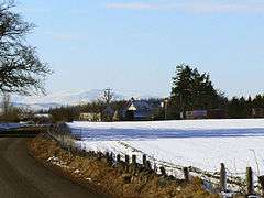
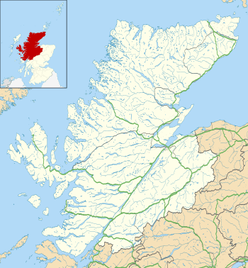
Tore (Scottish Gaelic: An Todhar) is a small village on the Black Isle, in Ross and Cromarty, Highland, Scotland.[1]
Tore
| |
|---|---|
 | |
 Tore Location within the Highland council area | |
| OS grid reference | NH604522 |
| Council area | |
| Country | Scotland |
| Sovereign state | United Kingdom |
| Post town | Muir of Ord |
| Postcode district | IV6 7 |
| Dialling code | 01463 |
| Police | Scotland |
| Fire | Scottish |
| Ambulance | Scottish |
| UK Parliament | |
| Scottish Parliament | |
Settlements
It is located 7 miles (11 km) north of Inverness, next to the A9 road. The Tore roundabout, a major roundabout where the A9 intersects the A832 and the A835, is next to the village. It is split up and therefore set around the roundabout. The school and hall are in their own area, whilst the service station is positioned on the other side. The residents' houses are spread over both halves of the village. Munlochy is situated 4 miles (6.4 km) east of Tore.[2]
gollark: You can just ++choose you know.
gollark: Hmm. What if apiodrone logging and search?
gollark: Also fakeusering.
gollark: Exciting news: I now have "secure" TOTP-based operator-becoming.
gollark: As planned.
References
- "Tore". The Editors of The Gazetteer for Scotland. School of GeoSciences, University of Edinburgh and The Royal Scottish Geographical Society. Retrieved 17 February 2018.
- Francis H., Groome (1892–1896). Ordnance Gazetteer of Scotland. William MacKenzie. p. 444. Retrieved 17 February 2018.CS1 maint: date format (link)
This article is issued from Wikipedia. The text is licensed under Creative Commons - Attribution - Sharealike. Additional terms may apply for the media files.